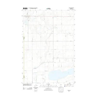
2013 Map of Cyrus
USGS Topo · Published 2013About this map
Cyrus serves as the primary hub of this western Pope County landscape, situated along the MN-28 corridor. The community is characterized by its local institutions and cemeteries, including the Saint Petri Cem to the northwest and the Cyrus Cem closer to the town center. The surrounding terrain is defined by the winding course of the Chippewa River and its tributary, the Little Chippewa River, which meander through a grid of rural township roads and section lines. To the south, the expansive Lake Emily dominates the geography, with the Lake Emily Cem positioned near its northern shoreline. This 2013 survey illustrates the enduring agricultural character of the region, where a dense network of local routes like Co HWY-1 and 380th Ave connect scattered farmsteads across the border of Stevens Co and Pope Co.
Find a feature on this map
40 named features on this map. Tap any name to fly to it.
Don’t see what you’re looking for? This feature index may not catch every label — zoom into the map to look around manually.
Map Details
Editions of this 2013 Cyrus Map
This is the sole edition of this map. No revisions or reprints were ever made.
Other maps of this area

1912 · Morris
USGS Topo · 1:62,500

1953 · Saint Cloud
USGS Topo · 1:250,000

1957 · Saint Cloud
USGS Topo · 1:250,000

1958 · Saint Cloud
USGS Topo · 1:250,000

1968 · Cyrus
USGS Topo · 1:24,000

1968 · Starbuck
USGS Topo · 1:24,000

1968 · Lowry
USGS Topo · 1:24,000

1968 · Hancock
USGS Topo · 1:24,000

1968 · Lake Hassel
USGS Topo · 1:24,000

1968 · Starbuck NW
USGS Topo · 1:24,000