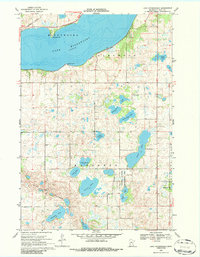
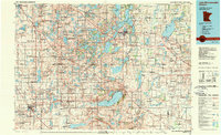
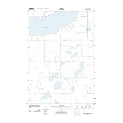
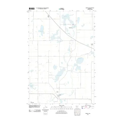
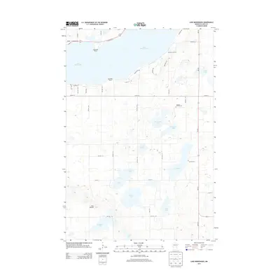
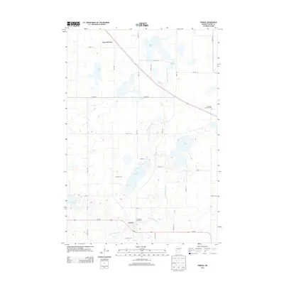
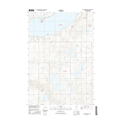
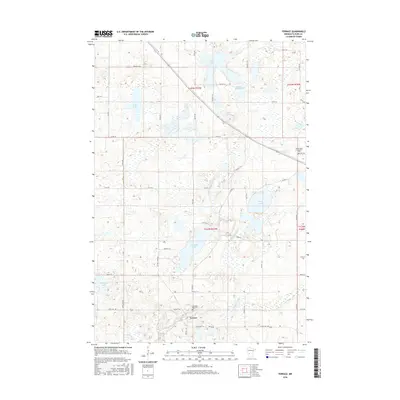
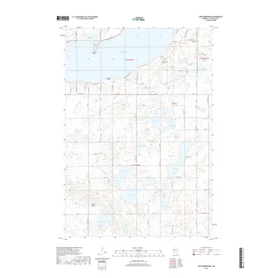
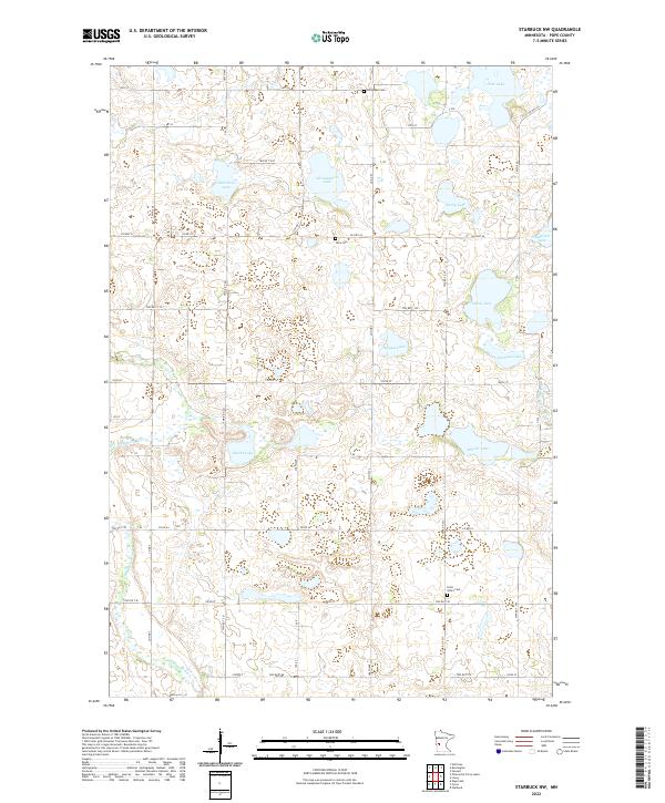
1968 Map of Starbuck NW
USGS Topo · Published 1970About this map
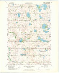
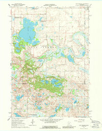
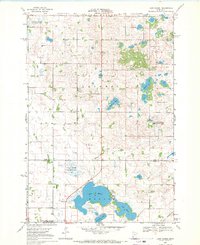
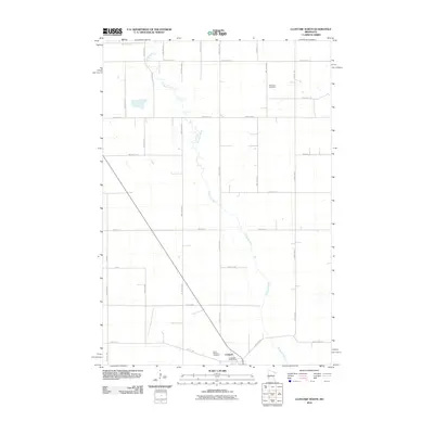
Glacial depressions and water conservation efforts define this landscape in western Pope County during the late 1960s. The terrain is characterized by a dense network of pothole lakes and wetlands, many of which are formally preserved within units like the Nora State Wildlife Management Area and the Van Luik State Wildlife Management Area. The Chippewa River meanders through the western portion of the quadrangle, serving as a primary drainage for the surrounding prairie.
Find a feature on this map
26 named features on this map. Tap any name to fly to it.
Don’t see what you’re looking for? This feature index may not catch every label — zoom into the map to look around manually.
Map Details
Editions of this 1968 Starbuck NW Map
This is the sole edition of this map. No revisions or reprints were ever made.
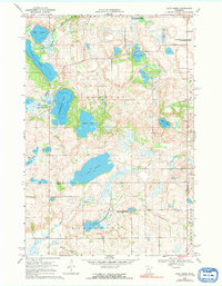
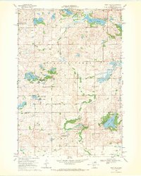
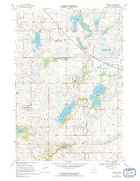
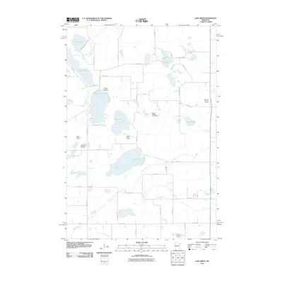
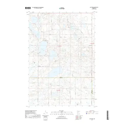
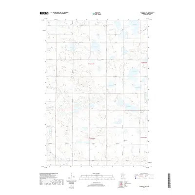
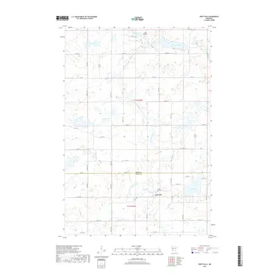
Historical Maps of Pope County Through Time
49 maps found
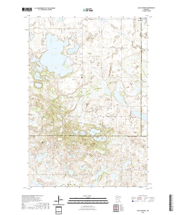
1967 Lake Johanna
Pope County, MN
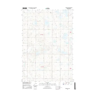
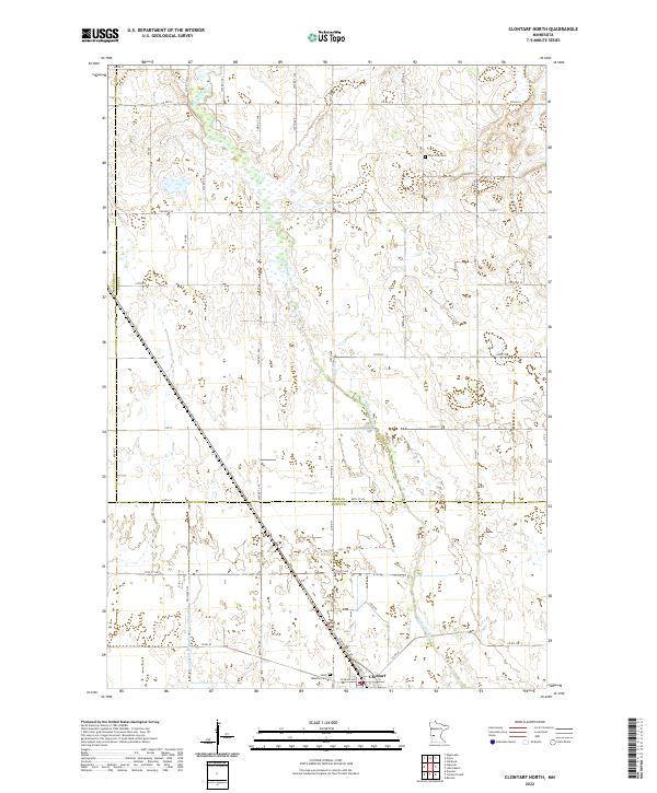
1968 Clontarf North
Pope County, MN
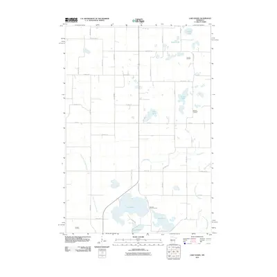
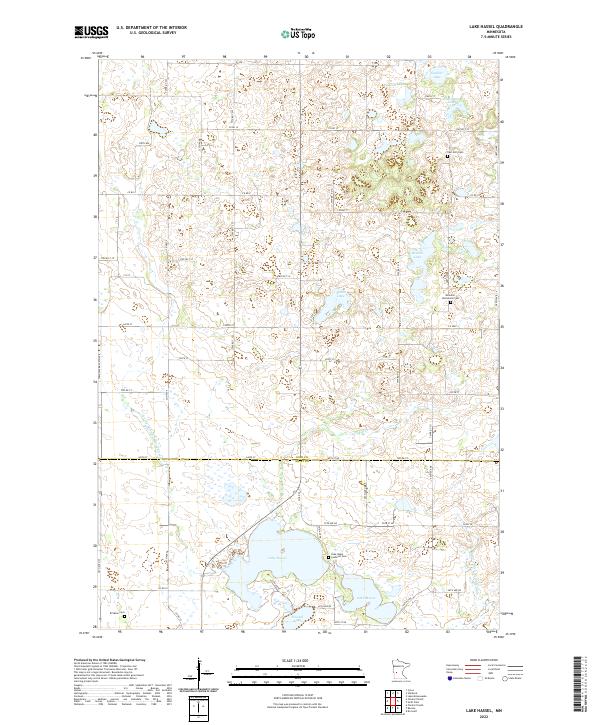
1968 Lake Hassel
Pope County, MN
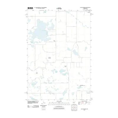
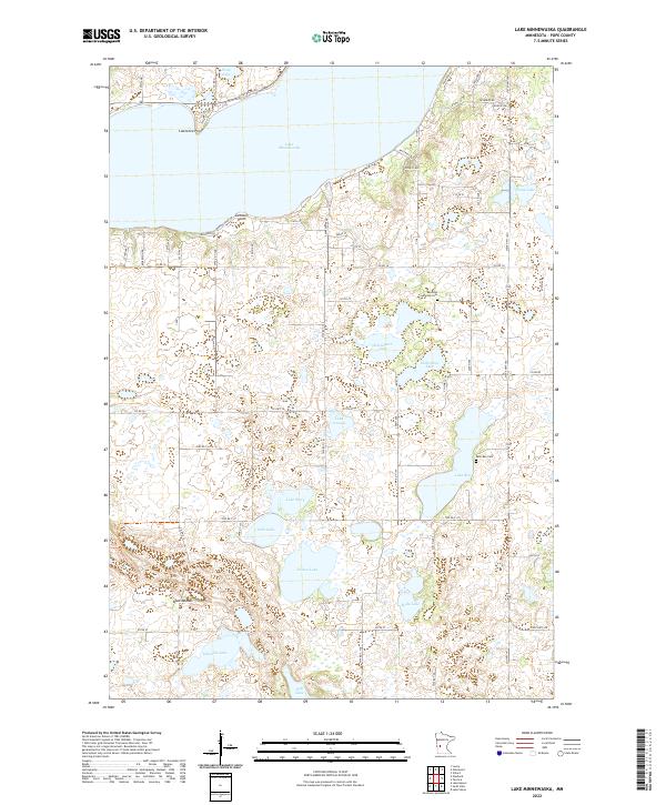
1968 Lake Minnewaska
Pope County, MN
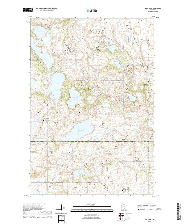
1968 Lake Simon
Pope County, MN
1968 Starbuck NW
Pope County, MN
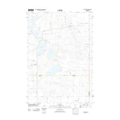
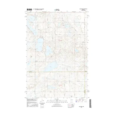
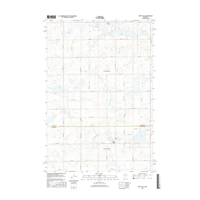
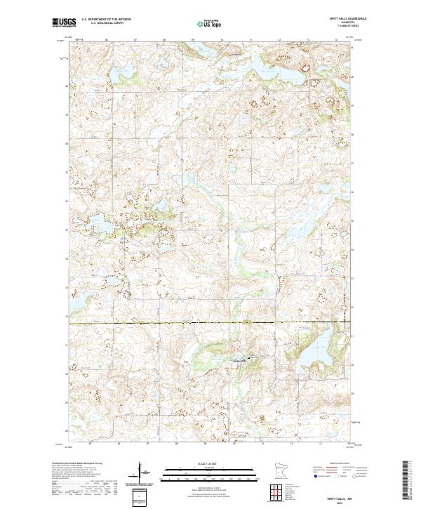
1968 Swift Falls
Pope County, MN
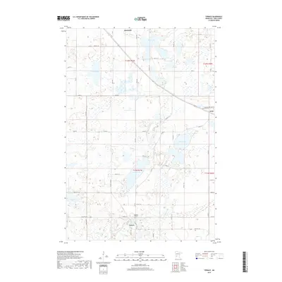
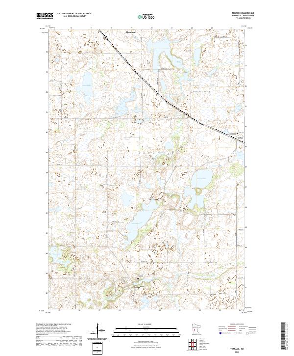
1968 Terrace
Pope County, MN
1986 Lake Minnewaska
Pope County, MN
2010 Clontarf North
Pope County, MN
2010 Lake Hassel
Pope County, MN
2010 Lake Johanna
Pope County, MN
2010 Lake Minnewaska
Pope County, MN
2010 Lake Simon
Pope County, MN
2010 Starbuck NW
Pope County, MN
2010 Swift Falls
Pope County, MN
2010 Terrace
Pope County, MN
2013 Clontarf North
Pope County, MN
2013 Lake Hassel
Pope County, MN
2013 Lake Johanna
Pope County, MN
2013 Lake Minnewaska
Pope County, MN
2013 Lake Simon
Pope County, MN
2013 Starbuck NW
Pope County, MN
2013 Swift Falls
Pope County, MN
2013 Terrace
Pope County, MN
2016 Clontarf North
Pope County, MN
2016 Lake Hassel
Pope County, MN
2016 Lake Johanna
Pope County, MN
2016 Lake Minnewaska
Pope County, MN
2016 Lake Simon
Pope County, MN
2016 Starbuck NW
Pope County, MN
2016 Swift Falls
Pope County, MN
2016 Terrace
Pope County, MN
2019 Clontarf North
Pope County, MN
2019 Lake Hassel
Pope County, MN
2019 Lake Johanna
Pope County, MN
2019 Lake Minnewaska
Pope County, MN
2019 Lake Simon
Pope County, MN
2019 Starbuck NW
Pope County, MN
2019 Swift Falls
Pope County, MN
2019 Terrace
Pope County, MN
2022 Clontarf North
Pope County, MN
2022 Lake Hassel
Pope County, MN
2022 Lake Johanna
Pope County, MN
2022 Lake Minnewaska
Pope County, MN
2022 Lake Simon
Pope County, MN
2022 Starbuck NW
Pope County, MN
2022 Swift Falls
Pope County, MN
2022 Terrace
Pope County, MN