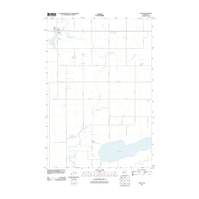
2010 Map of Cyrus
USGS Topo · Published 2010About this map
Cyrus serves as the primary hub of this western Pope County landscape, established near the headwaters where the Chippewa River begins its course through the prairie. The settlement is anchored by the Cyrus Post Office and local landmarks like the Saint Petri Cemetery and Cyrus Cemetery. The map reveals a highly structured grid of section lines and township roads, such as County Hwy-3 and 380th Ave, which define the agricultural character of the region. To the southeast, the terrain transitions toward the basin of Lake Emily, a significant water body bordered by the Lake Emily Cemetery. The drainage pattern is dominated by the winding paths of the river and its tributary, the Little Chippewa River, which cut across the otherwise orderly surveyor's lines, illustrating the intersection of natural hydrology and the established township system in the early 21st century.
Find a feature on this map
31 named features on this map. Tap any name to fly to it.
Don’t see what you’re looking for? This feature index may not catch every label — zoom into the map to look around manually.
Map Details
Editions of this 2010 Cyrus Map
This is the sole edition of this map. No revisions or reprints were ever made.
Other maps of this area

1912 · Morris
USGS Topo · 1:62,500

1953 · Saint Cloud
USGS Topo · 1:250,000

1957 · Saint Cloud
USGS Topo · 1:250,000

1958 · Saint Cloud
USGS Topo · 1:250,000

1968 · Cyrus
USGS Topo · 1:24,000

1968 · Starbuck
USGS Topo · 1:24,000

1968 · Lowry
USGS Topo · 1:24,000

1968 · Hancock
USGS Topo · 1:24,000

1968 · Lake Hassel
USGS Topo · 1:24,000

1968 · Starbuck NW
USGS Topo · 1:24,000