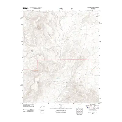
2011 Map of D Cross Mountain
USGS Topo · Published 2011About this map
Cibola National Forest encompasses much of this arid Socorro County landscape, where the topography is defined by the sharp relief of D Cross Mountain and the expansive Blue Mesa. The region's drainage patterns are dictated by the Rio Salado and Alamocita Creek, which cut through numerous canyons including Miguel Chavez Canyon and Red Canyon. This 2011 survey highlights the sparse human imprint on the land, centered around ranching and limited transit. The presence of Martin Ranch and water infrastructure like Blue Mesa Tank and Rock Tank illustrate the essential struggle for water management in the high desert. Local movement is channeled along unpaved routes such as Red Lake Rd and Martin's Rd, connecting isolated homesteads to the wider county.
Find a feature on this map
19 named features on this map. Tap any name to fly to it.
Don’t see what you’re looking for? This feature index may not catch every label — zoom into the map to look around manually.
Map Details
Editions of this 2011 D Cross Mountain Map
This is the sole edition of this map. No revisions or reprints were ever made.
Other maps of this area

1917 · Broom Mountain
USGS Topo · 1:125,000

1954 · Socorro
USGS Topo · 1:250,000

1958 · Socorro
USGS Topo · 1:250,000

1962 · Socorro
USGS Topo · 1:250,000

1963 · Cal Ship Mesa
USGS Topo · 1:24,000

1964 · Indian Mesa
USGS Topo · 1:24,000

1964 · Table Mountain
USGS Topo · 1:24,000

1964 · Wiley Mesa
USGS Topo · 1:24,000

1964 · Dog Springs
USGS Topo · 1:24,000

1964 · Pasture Canyon
USGS Topo · 1:24,000