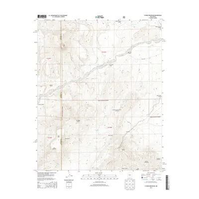
2013 Map of D Cross Mountain
USGS Topo · Published 2013About this map
Cibola National Forest encompasses much of this arid landscape in Socorro County, where the high desert meets the northern reaches of the Datil Mountains. The area is defined by a series of deep drainage systems, including Miguel Chavez Canyon and Rock Tank Canyon, which feed into the Rio Salado and Alamecita Creek. These watercourses have historically dictated the placement of small-scale ranching operations and water management features like Blue Mesa Tank and Rock Tank.
Find a feature on this map
30 named features on this map. Tap any name to fly to it.
Don’t see what you’re looking for? This feature index may not catch every label — zoom into the map to look around manually.
Map Details
Editions of this 2013 D Cross Mountain Map
This is the sole edition of this map. No revisions or reprints were ever made.
Other maps of this area

1917 · Broom Mountain
USGS Topo · 1:125,000

1954 · Socorro
USGS Topo · 1:250,000

1958 · Socorro
USGS Topo · 1:250,000

1962 · Socorro
USGS Topo · 1:250,000

1963 · Cal Ship Mesa
USGS Topo · 1:24,000

1964 · Indian Mesa
USGS Topo · 1:24,000

1964 · Table Mountain
USGS Topo · 1:24,000

1964 · Wiley Mesa
USGS Topo · 1:24,000

1964 · Dog Springs
USGS Topo · 1:24,000

1964 · Pasture Canyon
USGS Topo · 1:24,000