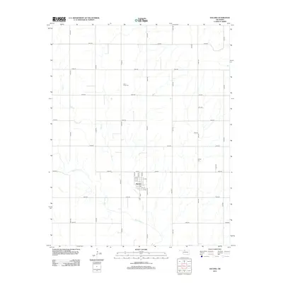
2012 Map of Dacoma
USGS Topo · Published 2012About this map
Dacoma stands as the central hub of this Woods County landscape, organized along a traditional grid with street names like Choctaw, Arapaho, and Comanche Ave reflecting local heritage. The surrounding rural landscape is defined by the section-line road system, including routes like E0240 Rd and N2500 Rd, which facilitate movement through the agricultural territory. For genealogists and local historians, the map identifies two significant burial sites: Union Center Cem to the north and Garrison Cem to the east. Water features such as Lake Cr and Eagle Chief Cr meander through the terrain, dictating the natural drainage patterns that have likely influenced land use and farm placement in this region for generations.
Find a feature on this map
35 named features on this map. Tap any name to fly to it.
Don’t see what you’re looking for? This feature index may not catch every label — zoom into the map to look around manually.
Map Details
Editions of this 2012 Dacoma Map
This is the sole edition of this map. No revisions or reprints were ever made.
Other maps of this area

1955 · Woodward
USGS Topo · 1:250,000

1958 · Woodward
USGS Topo · 1:250,000

1968 · Carmen
USGS Topo · 1:24,000

1969 · Dacoma
USGS Topo · 1:24,000

1969 · Lambert
USGS Topo · 1:24,000

1969 · Alva SE
USGS Topo · 1:24,000

1969 · Dacoma SW
USGS Topo · 1:24,000

1969 · Hopeton
USGS Topo · 1:24,000

1969 · Ingersoll
USGS Topo · 1:24,000
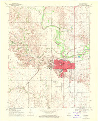
1969 · Alva
USGS Topo · 1:24,000