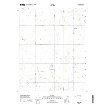
2018 Map of Dacoma
USGS Topo · Published 2018About this map
Dacoma is the primary hub of this agricultural landscape, situated at the intersection of a precise section-line road network. The town's grid is clearly defined by residential and commercial thoroughfares including Main Ave, Broadway St, and several avenues named after regional Indigenous nations such as Choctaw Ave and Arapahoe Ave. Surrounding the settlement, the terrain is shaped by the meandering courses of Eagle Chief Cr and Lake Cr, which break the geometric regularity of the prairie.
Find a feature on this map
41 named features on this map. Tap any name to fly to it.
Don’t see what you’re looking for? This feature index may not catch every label — zoom into the map to look around manually.
Map Details
Editions of this 2018 Dacoma Map
This is the sole edition of this map. No revisions or reprints were ever made.
Other maps of this area

1955 · Woodward
USGS Topo · 1:250,000

1958 · Woodward
USGS Topo · 1:250,000

1968 · Carmen
USGS Topo · 1:24,000

1969 · Dacoma
USGS Topo · 1:24,000

1969 · Lambert
USGS Topo · 1:24,000

1969 · Alva SE
USGS Topo · 1:24,000

1969 · Dacoma SW
USGS Topo · 1:24,000

1969 · Hopeton
USGS Topo · 1:24,000

1969 · Ingersoll
USGS Topo · 1:24,000
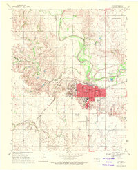
1969 · Alva
USGS Topo · 1:24,000