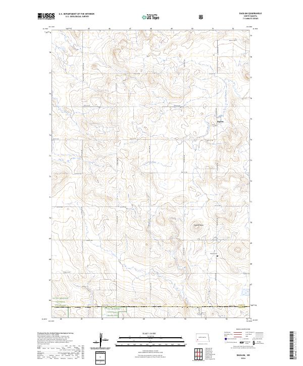
2024 Map of Daglum
USGS Topo · Published 2024About this map
Daglum is the focal point of this high-plains landscape, situated where the northern prairies transition into the broken terrain of the badlands. The settlement is anchored by the Daglum Cem, a vital site for family historians tracking early homesteading roots in this corner of North Dakota. The landscape is defined by the winding course of Antelope Creek, which carves through the undulating topography towards Flagstaff Butte.
Find a feature on this map
26 named features on this map. Tap any name to fly to it.
Don’t see what you’re looking for? This feature index may not catch every label — zoom into the map to look around manually.
Map Details
Editions of this 2024 Daglum Map
This is the sole edition of this map. No revisions or reprints were ever made.
Other maps of this area
1953 · Dickinson
USGS Topo · 1:250,000
1957 · Dickinson
USGS Topo · 1:250,000
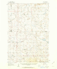
1961 · Daglum
USGS Topo · 1:62,500
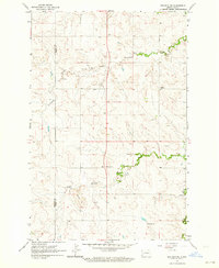
1962 · Belfield SW
USGS Topo · 1:24,000
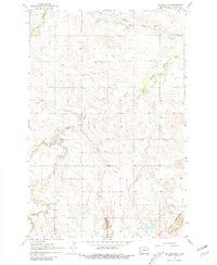
1962 · Belfield SE
USGS Topo · 1:24,000
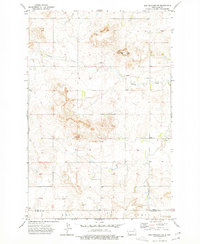
1973 · New England NW
USGS Topo · 1:24,000
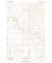
1973 · New England SW
USGS Topo · 1:24,000
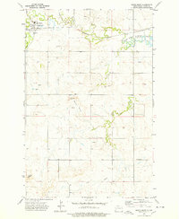
1973 · South Heart
USGS Topo · 1:24,000
1980 · Belfield
USGS Topo · 1:100,000
1981 · Dickinson
USGS Topo · 1:100,000