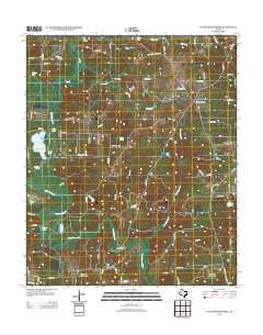
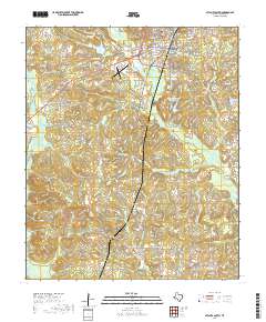
1914 Map of Daingerfeild
USGS Topo · Published 1949About this map
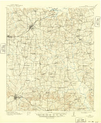
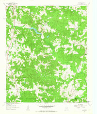
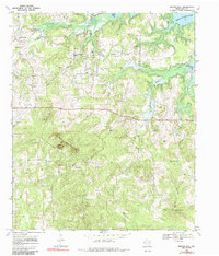
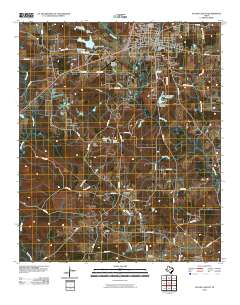
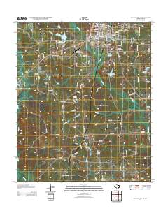
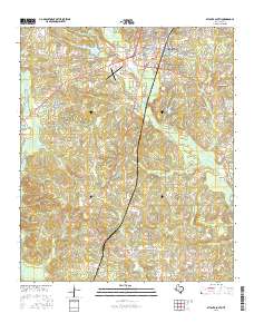
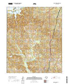
The St Louis Southwestern Ry and Missouri Kansas And Texas RR anchor the transport network of this northeast Texas landscape, surveyed just before the First World War. The region, split by the Morris Co Cass Co boundary, is defined by a dense distribution of rural institutions serving farming communities. Numerous small schools such as Celeste School, Snow Hill School, and Union Hill School are spaced frequently across the terrain, indicating a populated countryside before mid-century consolidation.
Find a feature on this map
61 named features on this map. Tap any name to fly to it.
Don’t see what you’re looking for? This feature index may not catch every label — zoom into the map to look around manually.
Map Details
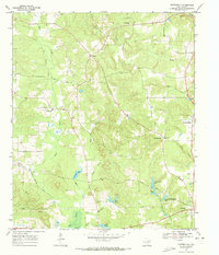
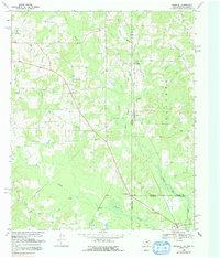
Editions of this 1914 Daingerfeild Map
2 editions found
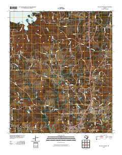
Historical Maps of Daingerfield Through Time
50 maps found
1914 Daingerfeild
Cass County, TX
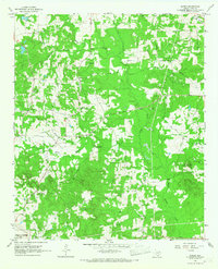
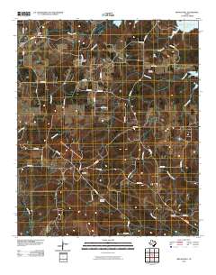
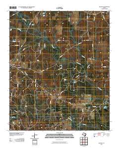
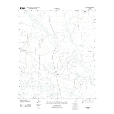
1961 Cunningham Creek
Cass County, TX
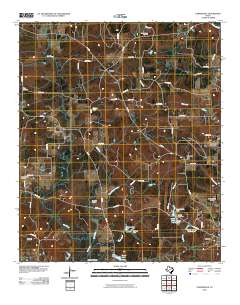
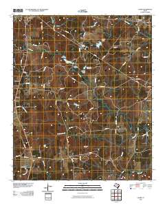
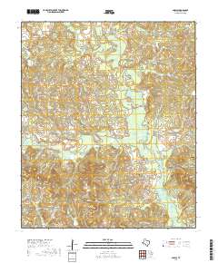
1962 Kildare
Cass County, TX
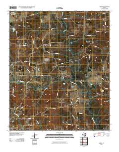
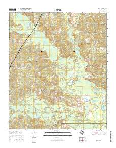
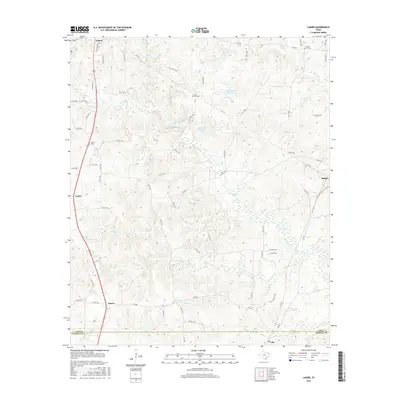
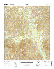
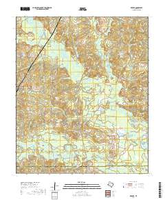
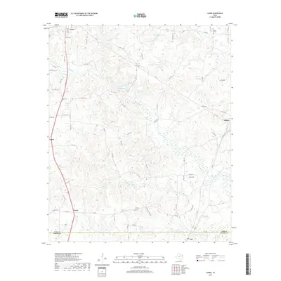
1962 Lanier
Cass County, TX
1965 Sardis
Cass County, TX
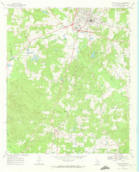
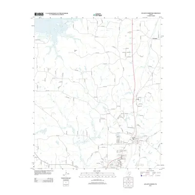
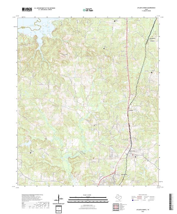
1969 Atlanta North
Cass County, TX
1969 Atlanta South
Cass County, TX
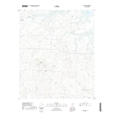
1969 Bryans Mill
Cass County, TX
1969 Carterville
Cass County, TX
1969 Ravanna
Cass County, TX
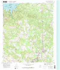
2010 Atlanta North
Cass County, TX
2010 Atlanta South
Cass County, TX
2010 Bryans Mill
Cass County, TX
2010 Carterville
Cass County, TX
2010 Cunningham Creek
Cass County, TX
2010 Kildare
Cass County, TX
2010 Lanier
Cass County, TX
2010 Sardis
Cass County, TX
2012 Atlanta North
Cass County, TX
2012 Sardis
Cass County, TX
2013 Atlanta South
Cass County, TX
2013 Bryans Mill
Cass County, TX
2013 Carterville
Cass County, TX
2013 Cunningham Creek
Cass County, TX
2013 Kildare
Cass County, TX
2013 Lanier
Cass County, TX
2016 Atlanta North
Cass County, TX
2016 Atlanta South
Cass County, TX
2016 Bryans Mill
Cass County, TX
2016 Carterville
Cass County, TX
2016 Cunningham Creek
Cass County, TX
2016 Kildare
Cass County, TX
2016 Lanier
Cass County, TX
2016 Sardis
Cass County, TX
2019 Atlanta North
Cass County, TX
2019 Atlanta South
Cass County, TX
2019 Bryans Mill
Cass County, TX
2019 Carterville
Cass County, TX
2019 Cunningham Creek
Cass County, TX
2019 Kildare
Cass County, TX
2019 Lanier
Cass County, TX
2019 Sardis
Cass County, TX
2022 Atlanta North
Cass County, TX
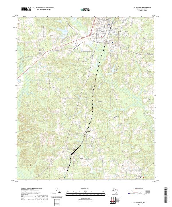
2022 Atlanta South
Cass County, TX
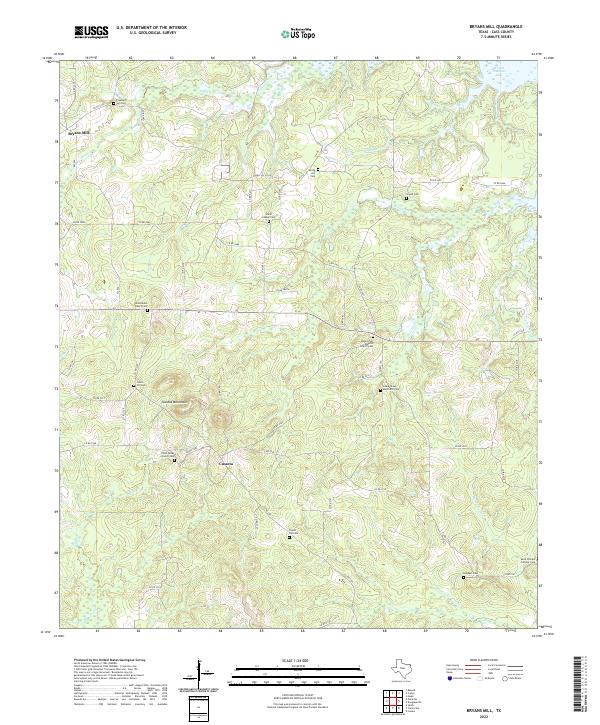
2022 Bryans Mill
Cass County, TX
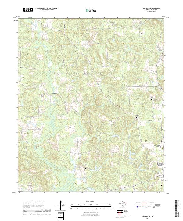
2022 Carterville
Cass County, TX
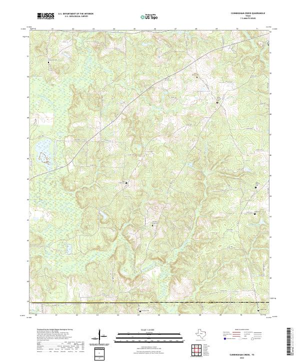
2022 Cunningham Creek
Cass County, TX
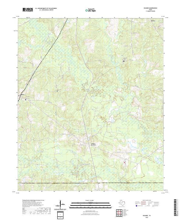
2022 Kildare
Cass County, TX
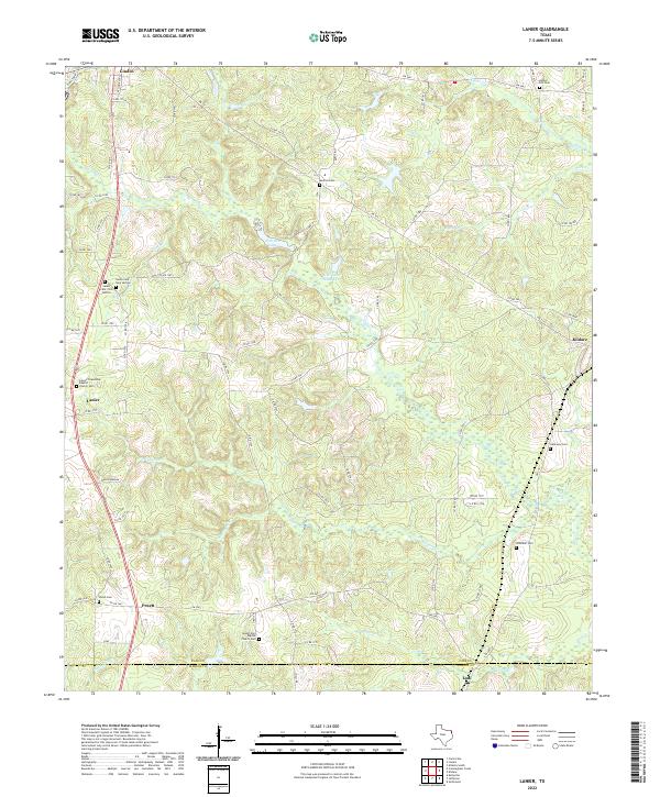
2022 Lanier
Cass County, TX
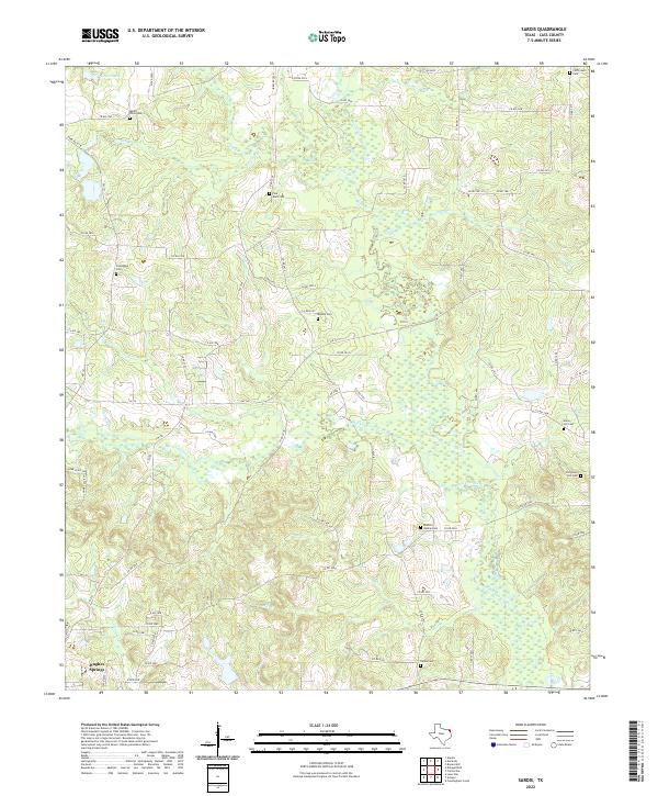
2022 Sardis
Cass County, TX