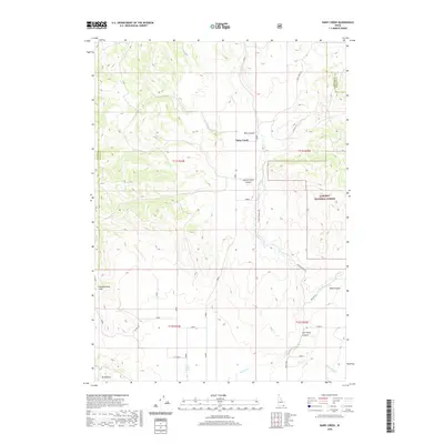
2020 Map of Dairy Creek
USGS Topo · Published 2020About this map
Dairy Creek and the surrounding high desert terrain of southern Idaho are the focus of this 2020 landscape study. The map documents a sparsely populated region where the boundary lines of Power, Oneida, and Bannock Counties converge. This high-country geography is defined by a series of named drainages and canyons, including Mine Canyon, Harold Johns Canyon, and Tom Perry Canyon, which underscore the historical importance of water rights and family-named landmarks in this arid environment. Significant water sources such as Little Malad Spring and Cowley Spring serve as critical points of interest for those studying the agricultural and ranching history of the area.
Find a feature on this map
23 named features on this map. Tap any name to fly to it.
Don’t see what you’re looking for? This feature index may not catch every label — zoom into the map to look around manually.
Map Details
Editions of this 2020 Dairy Creek Map
This is the sole edition of this map. No revisions or reprints were ever made.
Other maps of this area

1938 · Pauline
USGS Topo · 1:48,000

1944 · Arbon
USGS Topo · 1:62,500

1954 · Pocatello
USGS Topo · 1:250,000

1958 · Pocatello
USGS Topo · 1:250,000

1963 · Daniels
USGS Topo · 1:24,000

1968 · Daniels
USGS Topo · 1:24,000

1968 · Dairy Creek
USGS Topo · 1:24,000

1968 · Wakley Peak
USGS Topo · 1:24,000
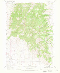
1968 · Elkhorn Peak
USGS Topo · 1:24,000

1968 · Hawkins
USGS Topo · 1:24,000