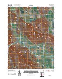
2011 Map of Dairy
USGS Topo · Published 2011About this map
Dairy and the surrounding agricultural basin are defined by a complex network of water management features and low-lying valleys. The Lost River meanders through the central terrain, supported by a system of man-made waterways including the B Canal, F Canal, and the F-1 Lateral, which facilitate irrigation across the flats. To the west, the landscape rises toward Modoc Ridge and The Gap, while Horton Rim stands as a prominent topographical feature to the east. The settlement pattern is concentrated around the Dairy Post Office and the rail-oriented Dairy Siding, reflecting the area's historical reliance on transportation and ranching. The presence of the Sky Wagon Ranch Airport in the southern portion of the quadrangle highlights the continued importance of regional connectivity in this rural landscape, while Swan Lake and the Barton Reservoir anchor the hydrologic profile of the northern reaches.
Find a feature on this map
26 named features on this map. Tap any name to fly to it.
Don’t see what you’re looking for? This feature index may not catch every label — zoom into the map to look around manually.
Map Details
Editions of this 2011 Dairy Map
This is the sole edition of this map. No revisions or reprints were ever made.
Other maps of this area
1889 · Klamath
USGS Topo · 1:250,000
1894 · Klamath
USGS Topo · 1:250,000
1955 · Klamath Falls
USGS Topo · 1:250,000
1957 · Merrill
USGS Topo · 1:62,500
1957 · Swan Lake
USGS Topo · 1:62,500
1957 · Malin
USGS Topo · 1:62,500
1958 · Klamath Falls
USGS Topo · 1:250,000
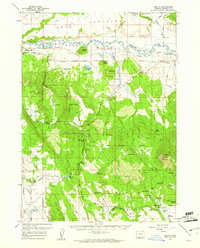
1960 · Beatty
USGS Topo · 1:62,500
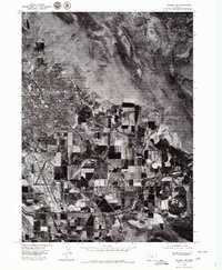
1975 · Merrill NW
USGS Topo · 1:24,000
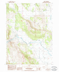
1985 · Dairy
USGS Topo · 1:24,000