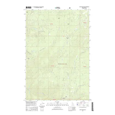
2017 Map of Dairy Mountain
USGS Topo · Published 2017About this map
Nez Perce National Forest dominates this Idaho County landscape, revealing a complex network of drainage basins and high-elevation ridges characteristic of the Clearwater Mountains region. The terrain is defined by prominent summits like Dairy Mountain and Asbestos Peak, with deep canyons carved by the Slate Cr system and its numerous tributaries, including Waterspout Cr and N Fork Slate Cr. Evidence of early remote habitation and land use is preserved in names like Behr Cabin Spring and the curiously named Free Use Ridge.
Find a feature on this map
45 named features on this map. Tap any name to fly to it.
Don’t see what you’re looking for? This feature index may not catch every label — zoom into the map to look around manually.
Map Details
Editions of this 2017 Dairy Mountain Map
This is the sole edition of this map. No revisions or reprints were ever made.
Other maps of this area

1931 · Buffalo Hump
USGS Topo · 1:125,000

1934 · Buffalo Hump
USGS Topo · 1:125,000

1955 · Grangeville
USGS Topo · 1:250,000

1956 · Elk City
USGS Topo · 1:250,000

1959 · Grangeville
USGS Topo · 1:250,000

1960 · Elk City
USGS Topo · 1:250,000

1963 · John Day Mtn
USGS Topo · 1:24,000

1963 · McKinzie Creek
USGS Topo · 1:24,000

1963 · Goodwin Meadows
USGS Topo · 1:24,000

1963 · Hanover Mtn.
USGS Topo · 1:24,000