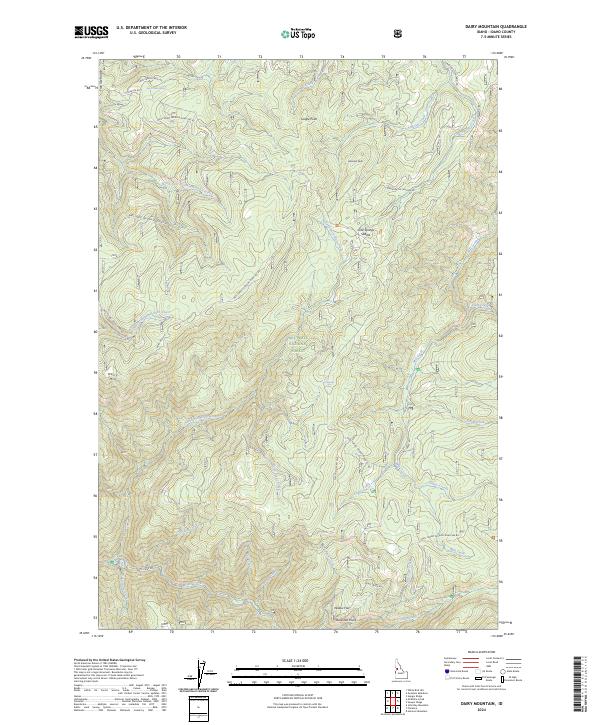
2024 Map of Dairy Mountain
USGS Topo · Published 2024About this map
Nez Perce National Forest dominates this landscape, characterized by a complex network of high ridges and drainage basins. Higher elevations are marked by landmarks like Dairy Mtn, Asbestos Peak, and Jungle Point, while the southeastern corner reaches into the Gospel-Hump Wilderness. The topography is defined by the deep incisions of Slate Creek and its many tributaries, including Adams Creek and Trough Creek. Human activity is primarily represented by a series of National Forest development roads and the small settlement at Willow Flat near the southern boundary. Distinctive natural features such as Cold Springs Saddle and Free Use Ridge provide navigational context within this expansive forested terrain, while numerous springs like Peter Ready Spring and Pig Foot Spring indicate the reliable water sources that shaped local land use and resource management.
Find a feature on this map
41 named features on this map. Tap any name to fly to it.
Don’t see what you’re looking for? This feature index may not catch every label — zoom into the map to look around manually.
Map Details
Editions of this 2024 Dairy Mountain Map
This is the sole edition of this map. No revisions or reprints were ever made.
Other maps of this area

1931 · Buffalo Hump
USGS Topo · 1:125,000

1934 · Buffalo Hump
USGS Topo · 1:125,000

1955 · Grangeville
USGS Topo · 1:250,000

1956 · Elk City
USGS Topo · 1:250,000

1959 · Grangeville
USGS Topo · 1:250,000

1960 · Elk City
USGS Topo · 1:250,000

1963 · John Day Mtn
USGS Topo · 1:24,000

1963 · McKinzie Creek
USGS Topo · 1:24,000

1963 · Goodwin Meadows
USGS Topo · 1:24,000

1963 · Hanover Mtn.
USGS Topo · 1:24,000