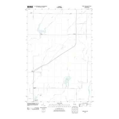
2010 Map of Dairyland
USGS Topo · Published 2010About this map
The Saint Croix River and its numerous tributaries, including Hay Creek and Perkins Creek, define the water-rich landscape of this Douglas County region. Near the settlement of Dairyland, the Dairyland Cemetery and Dairyland Lookout Tower serve as local landmarks within a network of rural roads like E Kingsdale Rd and Engine Hill Rd. The map reveals a specific focus on water management through features such as the Radigan Dam and the Gomulak and Profitt 3WR253 Dam at the southern edge of the quadrangle.
Find a feature on this map
39 named features on this map. Tap any name to fly to it.
Don’t see what you’re looking for? This feature index may not catch every label — zoom into the map to look around manually.
Map Details
Editions of this 2010 Dairyland Map
This is the sole edition of this map. No revisions or reprints were ever made.
Other maps of this area

1949 · Danbury
USGS Topo · 1:48,000

1949 · Holyoke
USGS Topo · 1:48,000

1949 · Webb Lake
USGS Topo · 1:48,000

1949 · Patzau
USGS Topo · 1:48,000

1953 · Duluth
USGS Topo · 1:250,000

1955 · Webb Lake
USGS Topo · 1:62,500

1955 · Patzau
USGS Topo · 1:62,500

1958 · Duluth
USGS Topo · 1:250,000

1962 · Holyoke
USGS Topo · 1:62,500

1962 · Danbury
USGS Topo · 1:62,500