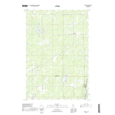
2019 Map of Dairyland
USGS Topo · Published 2019About this map
Dairyland sits at the intersection of local routes in this rural corner of Northwest Wisconsin, defined by its network of wetlands and small waterways. The landscape is characterized by the winding course of the Upper Tamarack River and numerous tributaries such as Boyles Brook and Chases Brook. To the north, the Dairyland Cem serves as a primary genealogical landmark for the community. The southern portion of the map transitions into Burnett County, featuring McGraw Lake and the protected corridor of the Saint Croix National Scenic Riverway. A sparse but significant road network, including the historic Old 35 Rd and School Rd, connects these remote settlements and provides a clear picture of the land divisions and drainage patterns in the region.
Find a feature on this map
43 named features on this map. Tap any name to fly to it.
Don’t see what you’re looking for? This feature index may not catch every label — zoom into the map to look around manually.
Map Details
Editions of this 2019 Dairyland Map
This is the sole edition of this map. No revisions or reprints were ever made.
Other maps of this area

1949 · Danbury
USGS Topo · 1:48,000

1949 · Holyoke
USGS Topo · 1:48,000

1949 · Webb Lake
USGS Topo · 1:48,000

1949 · Patzau
USGS Topo · 1:48,000

1953 · Duluth
USGS Topo · 1:250,000

1955 · Webb Lake
USGS Topo · 1:62,500

1955 · Patzau
USGS Topo · 1:62,500

1958 · Duluth
USGS Topo · 1:250,000

1962 · Holyoke
USGS Topo · 1:62,500

1962 · Danbury
USGS Topo · 1:62,500