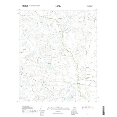
2020 Map of Daisy
USGS Topo · Published 2020About this map
Canoochee River and Lotts Creek define the drainage patterns of this South Georgia landscape, where agricultural land meets dense wetlands and ponds. The settlement of Daisy serves as a local hub along the rail corridor, while smaller communities like Edna, Overbrook, and Bowen Mill are scattered across the surrounding terrain. This survey illustrates the enduring importance of local water resources and milling history, evidenced by the presence of Anderson Mill and numerous family-named water bodies such as J W De Loach Ponds. Genealogists will find a high density of family burial sites, including De Loachs Cem, Rogers Cem, and Sands Cem, which remain as vital markers of the area's rural heritage. The geography transitions from the upland airfield at Claxton-Evans County Airport to the spring-fed basins of Magnolia Spring and Billie Pond.
Find a feature on this map
134 named features on this map. Tap any name to fly to it.
Don’t see what you’re looking for? This feature index may not catch every label — zoom into the map to look around manually.
Map Details
Editions of this 2020 Daisy Map
This is the sole edition of this map. No revisions or reprints were ever made.
Other maps of this area

1919 · Claxton
USGS Topo · 1:62,500

1920 · Pembroke
USGS Topo · 1:62,500

1920 · Statesboro
USGS Topo · 1:62,500

1921 · Brooklet
USGS Topo · 1:62,500

1943 · Brooklet
USGS Topo · 1:62,500

1943 · Statesboro
USGS Topo · 1:62,500

1944 · Claxton
USGS Topo · 1:62,500

1947 · Savannah
USGS Topo · 1:250,000

1948 · Savannah
USGS Topo · 1:250,000

1948 · Pembroke
USGS Topo · 1:62,500