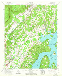
1958 Map of Daisy
USGS Topo · Published 1965About this map
The Cumberland Escarpment and the jagged edge of Walden Ridge dominate the western horizon of this 1958 Tennessee Valley Authority survey. Below the ridge, the valley floor is defined by the winding course of North Chickamauga Creek and the burgeoning suburban development of Hixson and Daisy. The landscape reflects a mid-century shift from rural industry to residential expansion, as seen in the presence of Greens Mill and Lower Mill alongside newer residential pockets like Dallas Hills and Dallas Gardens.
Find a feature on this map
71 named features on this map. Tap any name to fly to it.
Don’t see what you’re looking for? This feature index may not catch every label — zoom into the map to look around manually.
Map Details
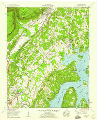
Editions of this 1958 Daisy Map
2 editions found
Other maps of this area

1888 · Chattanooga
USGS Topo · 1:125,000

1893 · Chattanooga
USGS Topo · 1:125,000

1935 · East Chattanooga
USGS Topo · 1:24,000

1935 · Daisy
USGS Topo · 1:24,000

1935 · Soddy
USGS Topo · 1:24,000

1935 · Snow Hill
USGS Topo · 1:24,000

1935 · Ooltewah
USGS Topo · 1:24,000

1935 · Soddy Island
USGS Topo · 1:24,000

1936 · Henson Gap
USGS Topo · 1:24,000

1936 · Fairmount
USGS Topo · 1:24,000