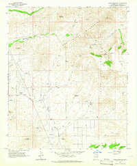
1964 Map of Daisy Mountain
USGS Topo · Published 1965About this map
Daisy Mountain and the surrounding high desert terrain are defined by a network of ephemeral watercourses and early ranching outposts in the mid-1960s. The New River and Skunk Creek drain the western slopes, where isolated settlements like Wranglers Roost and the Shangri La Ranch suggest the transition from traditional livestock operations to more recreational or residential uses. In the southwest, the Sharman Landing Strip and the Daisy Mine point to the diverse economic activities then occurring at the fringes of the Phoenix area.
Find a feature on this map
86 named features on this map. Tap any name to fly to it.
Don’t see what you’re looking for? This feature index may not catch every label — zoom into the map to look around manually.
Map Details
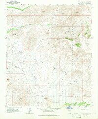
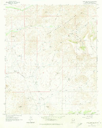
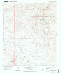
Editions of this 1964 Daisy Mountain Map
4 editions found
Other maps of this area

1887 · Verde
USGS Topo · 1:250,000

1887 · Prescott
USGS Topo · 1:250,000

1892 · Verde
USGS Topo · 1:250,000

1892 · Prescott
USGS Topo · 1:250,000

1903 · Bradshaw Mountains
USGS Topo · 1:125,000

1929 · Turret Peak
USGS Topo · 1:125,000

1930 · Cave Creek
USGS Topo · 1:125,000

1933 · Turret Peak
USGS Topo · 1:125,000

1939 · Cave Creek
USGS Topo · 1:125,000

1947 · Bumblebee
USGS Topo · 1:62,500