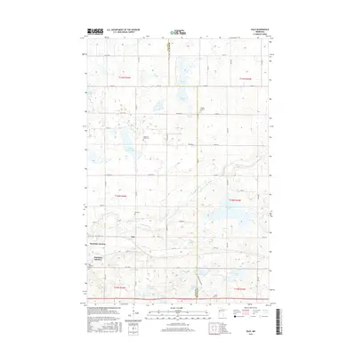
2016 Map of Dale
USGS Topo · Published 2016About this map
Buffalo River headwaters and a series of glacial lakes define this section of the Minnesota prairie along the border of Clay and Becker counties. The settlement of Dale serves as a central point, situated near the historical rail crossings of Manitoba Junction and Winnipeg Junction. These names reflect the region's deep connection to the northern transcontinental rail networks that shaped the local economy and community development. The landscape is dotted with several small water bodies, including Rustad Lake, Melbye Lake, and Stinking Lake, which characterize the undulating terrain of the Red River Valley’s eastern edge. Genealogists will find several burial sites preserved on the landscape, such as the Swedish Lutheran Cem, Highland Grove Cem, and Dale Covenant Cem, marking the heritage of the Scandinavian immigrants who established these rural townships.
Find a feature on this map
56 named features on this map. Tap any name to fly to it.
Don’t see what you’re looking for? This feature index may not catch every label — zoom into the map to look around manually.
Map Details
Editions of this 2016 Dale Map
This is the sole edition of this map. No revisions or reprints were ever made.
Other maps of this area

1918 · Flom
USGS Topo · 1:62,500

1918 · Ulen
USGS Topo · 1:62,500

1919 · Hawley
USGS Topo · 1:62,500

1952 · Grand Forks
USGS Topo · 1:250,000

1953 · Fargo
USGS Topo · 1:250,000

1956 · Fargo
USGS Topo · 1:250,000

1956 · Grand Forks
USGS Topo · 1:250,000

1966 · Grand Forks
USGS Topo · 1:250,000
1966 · Tilde Lake
USGS Topo · 1:24,000
1966 · Flom SE
USGS Topo · 1:24,000