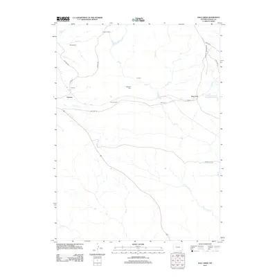
2012 Map of Dale Creek
USGS Topo · Published 2012About this map
Hermosa and Tie Siding anchor this high-plains landscape in Albany County, where the infrastructure of the railroad defines much of the local geography. The route of the tracks is marked by engineering feats like the Hermosa Tunnel and the massive earthwork known as The Fill near Dale Creek. This area, historically vital as a mountain transit corridor, is characterized by a series of established ranching operations including the Borgemans Ranch, Harnden Ranch, and Bath Ranch, which are distributed along the drainage networks of Dale Cr and its tributaries. The terrain is punctuated by the Natural Fort, while water management for the arid region is evidenced by the Williams and Blunk Number 1 Reservoir. The network of local roads such as Pumpkin Vine Rd and Dale Creek Rd connects these isolated homesteads across the drainage of W Fork Dale Cr.
Find a feature on this map
26 named features on this map. Tap any name to fly to it.
Don’t see what you’re looking for? This feature index may not catch every label — zoom into the map to look around manually.
Map Details
Editions of this 2012 Dale Creek Map
This is the sole edition of this map. No revisions or reprints were ever made.
Other maps of this area

1895 · Laramie
USGS Topo · 1:125,000

1902 · Laramie
USGS Topo · 1:125,000

1905 · Sherman
USGS Topo · 1:125,000

1905 · Laramie
USGS Topo · 1:125,000

1906 · Laramie
USGS Topo · 1:125,000

1907 · Livermore
USGS Topo · 1:125,000

1908 · Laramie
USGS Topo · 1:125,000

1909 · Livermore
USGS Topo · 1:125,000

1916 · Home
USGS Topo · 1:125,000

1920 · Home
USGS Topo · 1:125,000