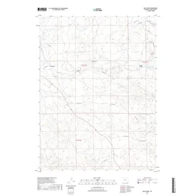
2017 Map of Dale Creek
USGS Topo · Published 2017About this map
Hermosa and Dale Creek represent the primary points of human settlement in this Wyoming landscape, where the rail corridor cuts through high-elevation terrain. The presence of the Hermosa Tunnel underscores the engineering required to navigate the area's geography, while the Natural Ft provides a distinct landmark near the center of the sheet. Water management is evident through features like the Williams and Blunk Number 1 Reservoir and the drainage network of Harney Cr, Dale Cr, and Pump Cr.
Find a feature on this map
35 named features on this map. Tap any name to fly to it.
Don’t see what you’re looking for? This feature index may not catch every label — zoom into the map to look around manually.
Map Details
Editions of this 2017 Dale Creek Map
This is the sole edition of this map. No revisions or reprints were ever made.
Other maps of this area

1895 · Laramie
USGS Topo · 1:125,000

1902 · Laramie
USGS Topo · 1:125,000

1905 · Sherman
USGS Topo · 1:125,000

1905 · Laramie
USGS Topo · 1:125,000

1906 · Laramie
USGS Topo · 1:125,000

1907 · Livermore
USGS Topo · 1:125,000

1908 · Laramie
USGS Topo · 1:125,000

1909 · Livermore
USGS Topo · 1:125,000

1916 · Home
USGS Topo · 1:125,000

1920 · Home
USGS Topo · 1:125,000