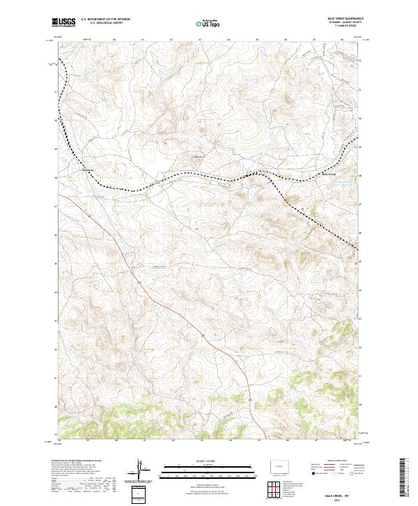
2021 Map of Dale Creek
USGS Topo · Published 2021About this map
The high plains of Albany County are defined here by a network of seasonal drainages and the enduring infrastructure of the transcontinental rail corridor. The Hermosa Tunnel serves as a critical engineering landmark near the settlement of Hermosa, where the iron road cuts through the divide between Dale Cr and Harney Cr. This landscape is marked by unique geologic formations like Natural Ft, while the modern cattle-ranching and rural residential character is reflected in the web of named tracks such as Pumpkin Vine Rd and Old Wagon Rd. Water management is central to the area's utility, anchored by the Williams and Blunk Number 1 Reservoir situated near the namesake Dale Creek community. The terrain is deeply incised by numerous creeks including Pump Cr, Grant Cr, and Fish Cr, illustrating the complex hydrology that feeds the larger regional basins.
Find a feature on this map
36 named features on this map. Tap any name to fly to it.
Don’t see what you’re looking for? This feature index may not catch every label — zoom into the map to look around manually.
Map Details
Editions of this 2021 Dale Creek Map
This is the sole edition of this map. No revisions or reprints were ever made.
Other maps of this area

1895 · Laramie
USGS Topo · 1:125,000

1902 · Laramie
USGS Topo · 1:125,000

1905 · Sherman
USGS Topo · 1:125,000

1905 · Laramie
USGS Topo · 1:125,000

1906 · Laramie
USGS Topo · 1:125,000

1907 · Livermore
USGS Topo · 1:125,000

1908 · Laramie
USGS Topo · 1:125,000

1909 · Livermore
USGS Topo · 1:125,000

1916 · Home
USGS Topo · 1:125,000

1920 · Home
USGS Topo · 1:125,000