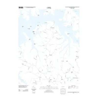
2013 Map of Dale Hollow Reservoir SE
USGS Topo · Published 2013About this map
Dale Hollow Lake dominates the northern and western reaches of this 2013 survey, where its flooded valleys create a labyrinth of peninsulas and islands. Small settlements like Willow Grove and Saint John sit along the high ground overlooking the water, connected by winding routes such as Lilly Dale Rd and H.R. Huffer Rd. This modern map shows how the topography has been redefined by the reservoir, leaving landmarks like Accordion Bluff and Geiger Island as prominent features in the aquatic landscape.
Find a feature on this map
86 named features on this map. Tap any name to fly to it.
Don’t see what you’re looking for? This feature index may not catch every label — zoom into the map to look around manually.
Map Details
Editions of this 2013 Dale Hollow Reservoir SE Map
This is the sole edition of this map. No revisions or reprints were ever made.
Other maps of this area

1897 · Standingstone
USGS Topo · 1:125,000

1898 · Standingstone
USGS Topo · 1:125,000

1924 · Lillydale
USGS Topo · 1:62,500

1926 · Lillydale
USGS Topo · 1:62,500

1929 · Lillydale
USGS Topo · 1:62,500

1929 · Byrdstown
USGS Topo · 1:62,500

1944 · Livingston
USGS Topo · 1:24,000

1954 · Frogue
USGS Topo · 1:24,000

1954 · Blacks Ferry
USGS Topo · 1:24,000

1954 · Albany
USGS Topo · 1:24,000