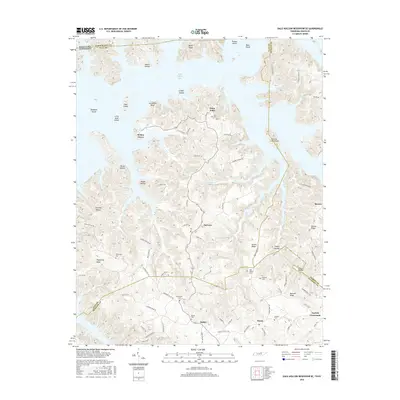
2016 Map of Dale Hollow Reservoir SE
USGS Topo · Published 2016About this map
The complex shoreline of Dale Hollow Lake dominates the northern half of this region, where the reservoir has transformed the landscape into a series of peninsulas and islands. Named features like Geiger Island, Goat Island, and Opossum Island highlight the former high points of the valley. Settlement patterns remain concentrated along the higher ridges to the south and east, with rural communities like Fairview, Oakley, and Taylors Crossroads connected by a network of winding roads.
Find a feature on this map
87 named features on this map. Tap any name to fly to it.
Don’t see what you’re looking for? This feature index may not catch every label — zoom into the map to look around manually.
Map Details
Editions of this 2016 Dale Hollow Reservoir SE Map
This is the sole edition of this map. No revisions or reprints were ever made.
Other maps of this area

1897 · Standingstone
USGS Topo · 1:125,000

1898 · Standingstone
USGS Topo · 1:125,000

1924 · Lillydale
USGS Topo · 1:62,500

1926 · Lillydale
USGS Topo · 1:62,500

1929 · Lillydale
USGS Topo · 1:62,500

1929 · Byrdstown
USGS Topo · 1:62,500

1944 · Livingston
USGS Topo · 1:24,000

1954 · Frogue
USGS Topo · 1:24,000

1954 · Blacks Ferry
USGS Topo · 1:24,000

1954 · Albany
USGS Topo · 1:24,000