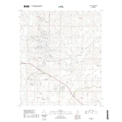
2020 Map of Daleville
USGS Topo · Published 2020About this map
Fort Rucker and the surrounding civilian settlements define this part of the Wiregrass region in Southeast Alabama. The military presence is central to the landscape, featuring Cairns Army Airfield (Fort-Rucker) and a dense network of residential streets and arterial roads like Red Cloud Rd and Andrews Ave. The city of Daleville serves as a primary gateway to the installation, transitioning from high-density infrastructure to the rural outskirts of Level Plains and Clayhatchee.
Find a feature on this map
124 named features on this map. Tap any name to fly to it.
Don’t see what you’re looking for? This feature index may not catch every label — zoom into the map to look around manually.
Map Details
Editions of this 2020 Daleville Map
This is the sole edition of this map. No revisions or reprints were ever made.
Other maps of this area

1942 · Enterprise
USGS Topo · 1:125,000

1948 · Ozark
USGS Topo · 1:62,500

1950 · Ozark
USGS Topo · 1:62,500

1950 · Enterprise
USGS Topo · 1:62,500

1953 · Dothan
USGS Topo · 1:250,000

1954 · Dothan
USGS Topo · 1:250,000

1955 · Dothan
USGS Topo · 1:250,000

1957 · Malvern
USGS Topo · 1:24,000

1957 · Geneva
USGS Topo · 1:62,500

1957 · Hartford
USGS Topo · 1:62,500