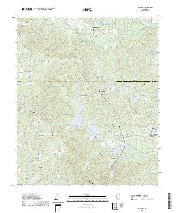
2024 Map of Daleville
USGS Topo · Published 2024About this map
Samuel Dale Memorial Park serves as a prominent landmark in this portion of Lauderdale County, where the topography is defined by the drainage basins of Ponta Creek and Blackwater Creek. The landscape transition from Kemper County into Lauderdale County is marked by several long-established rural communities, including Daleville, Lizelia, and Obadiah. The density of cemeteries and churches, such as Arkadelphia Ch and Mount Carmel Presbyterian Church, suggests a deeply rooted social fabric tied to local family lineages. Transportation patterns reflect both historical routes and modern infrastructure, notably the Jackson Military Rd and the proximity to the western edge of Naval Air Station Meridian. This modern survey details how the land remains partitioned into traditional townships while supporting significant federal military operations.
Find a feature on this map
77 named features on this map. Tap any name to fly to it.
Don’t see what you’re looking for? This feature index may not catch every label — zoom into the map to look around manually.
Map Details
Editions of this 2024 Daleville Map
This is the sole edition of this map. No revisions or reprints were ever made.
Other maps of this area

1921 · Meridian
USGS Topo · 1:48,000

1923 · Meridian
USGS Topo · 1:62,500

1953 · Meridian
USGS Topo · 1:250,000

1957 · Meridian
USGS Topo · 1:250,000

1957 · Chunky
USGS Topo · 1:62,500

1962 · Daleville
USGS Topo · 1:24,000

1962 · Lauderdale
USGS Topo · 1:24,000

1962 · Lauderdale NW
USGS Topo · 1:24,000

1962 · Center Hill
USGS Topo · 1:24,000

1962 · Oak Grove
USGS Topo · 1:24,000