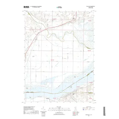
2018 Map of Dallas City
USGS Topo · Published 2018About this map
The Mississippi River forms the central character of this riverine landscape, serving as the border between Illinois and Iowa. Along the southern banks, the riverfront settlements of Dallas City and Pontoosuc are defined by their proximity to the water and the rising terrain of The Ridge. The topography here shifts from the wide, island-studded channel containing Dallas Island and Grape Island to the intricate drainage networks of the north, where the Skunk River meanders through Lee County toward its confluence with the Mississippi.
Find a feature on this map
75 named features on this map. Tap any name to fly to it.
Don’t see what you’re looking for? This feature index may not catch every label — zoom into the map to look around manually.
Map Details
Editions of this 2018 Dallas City Map
This is the sole edition of this map. No revisions or reprints were ever made.
Other maps of this area
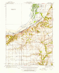
1932 · Lomax
USGS Topo · 1:62,500
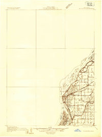
1934 · Burlington
USGS Topo · 1:48,000
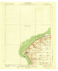
1936 · Fort Madison
USGS Topo · 1:62,500
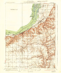
1937 · Lomax
USGS Topo · 1:62,500
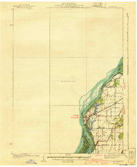
1940 · Burlington
USGS Topo · 1:62,500
1958 · Burlington
USGS Topo · 1:250,000
1961 · Burlington
USGS Topo · 1:250,000
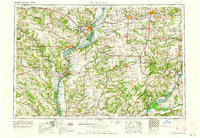
1963 · Burlington
USGS Topo · 1:250,000
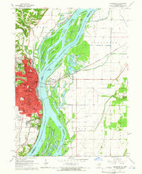
1964 · Burlington
USGS Topo · 1:24,000
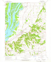
1964 · Lomax
USGS Topo · 1:24,000