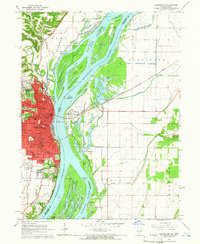
1964 Map of Burlington
USGS Topo · Published 1965About this map
The Mississippi River dominates this mid-1960s landscape, serving as a massive natural boundary between Iowa and Illinois. On the western bank, the city of Burlington shows a dense urban core supported by a robust educational and civic infrastructure, including Burlington Community College, Jefferson High School, and several neighborhood institutions like Sunnyside School and Salter School. The river itself is a complex network of chutes, sloughs, and bars, with large landmasses such as Otter Island and Burlington Island creating a braided waterway. Across the river in Illinois, the landscape shifts abruptly to the low-lying wetlands of the Shokokun and Carman districts. This area is defined by drainage features like the Diversion Ditch and numerous backwater lakes, including Carthage Lake and Orchard City Lake, illustrating the ongoing efforts to manage the river's floodplain for agricultural and navigational use.
Find a feature on this map
79 named features on this map. Tap any name to fly to it.
Don’t see what you’re looking for? This feature index may not catch every label — zoom into the map to look around manually.
Map Details
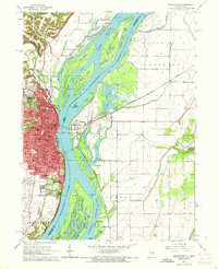
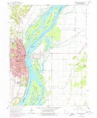
Editions of this 1964 Burlington Map
Other maps of this area

1918 · La Harpe
USGS Topo · 1:62,500

1932 · Lomax
USGS Topo · 1:62,500

1934 · Oquawka
USGS Topo · 1:48,000

1934 · Burlington
USGS Topo · 1:48,000

1937 · Lomax
USGS Topo · 1:62,500

1940 · Oquawka
USGS Topo · 1:62,500

1940 · Burlington
USGS Topo · 1:62,500

1958 · Burlington
USGS Topo · 1:250,000

1961 · Burlington
USGS Topo · 1:250,000

1963 · Burlington
USGS Topo · 1:250,000