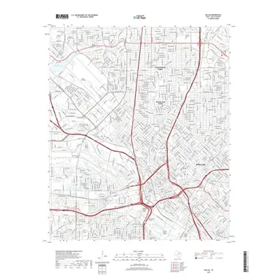
2019 Map of Dallas
USGS Topo · Published 2019About this map
Dallas is shown here at the height of its modern urban density, a landscape defined by an intricate network of expressways and a series of monumental viaducts crossing the Trinity River. This survey provides a precise accounting of the city's residential and aviation infrastructure, including the expansive footprint of Dallas Love Field. To the north, the affluent enclaves of University Park and Highland Park are clearly delineated, while the southern portions are anchored by significant historic sites like Oakland Cem and Oak Cliff Cem. The city's geography is further characterized by water management features such as the West Dallas Housing Project Lake and Bachman Lake. This late 2010s data documents the evolution of the city's transit corridors, including the N Central Expy and the Dallas-Ft Worth Tpke, alongside older landmarks like Browder Springs.
Find a feature on this map
38 named features on this map. Tap any name to fly to it.
Don’t see what you’re looking for? This feature index may not catch every label — zoom into the map to look around manually.
Map Details
Editions of this 2019 Dallas Map
This is the sole edition of this map. No revisions or reprints were ever made.
Other maps of this area

1891 · Dallas
USGS Topo · 1:125,000

1893 · Dallas
USGS Topo · 1:125,000

1925 · Dallas 2-b
USGS Topo · 1:48,000

1931 · Carrollton
USGS Topo · 1:62,500

1954 · Dallas
USGS Topo · 1:250,000

1957 · White Rock Lake
USGS Topo · 1:24,000

1958 · Dallas
USGS Topo · 1:250,000

1958 · Hutchins
USGS Topo · 1:24,000

1958 · Oak Cliff
USGS Topo · 1:24,000

1958 · Dallas
USGS Topo · 1:24,000