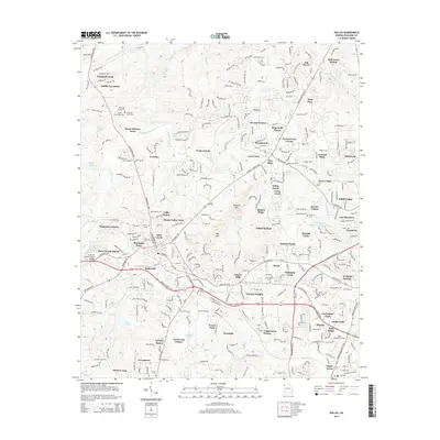
2014 Map of Dallas
USGS Topo · Published 2014About this map
Dallas serves as the focal point for this Paulding County survey, where a complex network of residential developments meets the natural landscape of the Georgia Piedmont. The town's historical roots are visible in sites like the Dallas Cem and Old Shady Grove Cem, while the modern expansion of the Atlanta metropolitan area is evident in the numerous named subdivisions such as Twelve Oaks, Plantation Estates, and Indian Springs. The landscape is defined by the winding course of Pumpkinvine Creek and its many tributaries, which carve through the terrain near Elsberry Mtn and Ray Mtn. Local infrastructure and social landmarks, including the Judge W A Foster Junior Bridge and Happy Valley Church, provide specific points of interest for genealogists tracing family locations near the Dallas Acworth Hwy and Jimmy Lee Smith Pky corridors.
Find a feature on this map
95 named features on this map. Tap any name to fly to it.
Don’t see what you’re looking for? This feature index may not catch every label — zoom into the map to look around manually.
Map Details
Editions of this 2014 Dallas Map
This is the sole edition of this map. No revisions or reprints were ever made.
Other maps of this area

1890 · Cartersville
USGS Topo · 1:125,000

1891 · Marietta
USGS Topo · 1:125,000

1891 · Cartersville
USGS Topo · 1:125,000

1895 · Marietta
USGS Topo · 1:125,000

1896 · Cartersville
USGS Topo · 1:125,000

1897 · Marietta
USGS Topo · 1:125,000

1901 · Marietta
USGS Topo · 1:125,000

1906 · Stilesboro
USGS Topo · 1:62,500

1907 · Acworth
USGS Topo · 1:62,500

1908 · Stilesboro
USGS Topo · 1:62,500