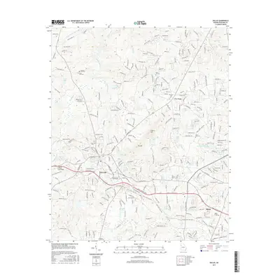
2017 Map of Dallas
USGS Topo · Published 2017About this map
The city of Dallas serves as a central hub of Paulding County in this 2017 survey, showing a landscape defined by its transition from agricultural roots to modern suburban development. The historic Seaboard Air Line RR corridor remains a prominent feature, cutting through the terrain and passing by the Chattahoochee Technical College campus. Nearby, the Judge W A Foster Junior Bridge stands as a notable landmark over the local creek systems. Numerous burial grounds, including the Old Shady Grove Cem and Dallas Cem, provide essential data points for genealogists tracing local families.
Find a feature on this map
266 named features on this map. Tap any name to fly to it.
Don’t see what you’re looking for? This feature index may not catch every label — zoom into the map to look around manually.
Map Details
Editions of this 2017 Dallas Map
This is the sole edition of this map. No revisions or reprints were ever made.
Other maps of this area

1890 · Cartersville
USGS Topo · 1:125,000

1891 · Marietta
USGS Topo · 1:125,000

1891 · Cartersville
USGS Topo · 1:125,000

1895 · Marietta
USGS Topo · 1:125,000

1896 · Cartersville
USGS Topo · 1:125,000

1897 · Marietta
USGS Topo · 1:125,000

1901 · Marietta
USGS Topo · 1:125,000

1906 · Stilesboro
USGS Topo · 1:62,500

1907 · Acworth
USGS Topo · 1:62,500

1908 · Stilesboro
USGS Topo · 1:62,500