Loading...
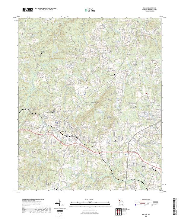
Loading map...2024 Map of Dallas
USGS Topo · Published 2024About this map
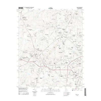
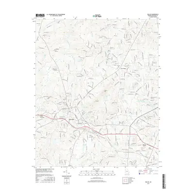
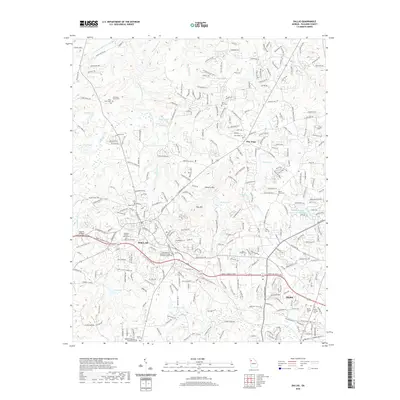
Dallas serves as the focal point of this Paulding County survey, where the Paulding County Courthouse marks the center of a landscape transitioning between established town sites and wooded ridges. The topography is defined by significant elevations like Elsberry Mountain and Ray Mtn, while the technical education presence is anchored by the Chattahoochee Technical College - Paulding Campus.
Find a feature on this map
57 named features on this map. Tap any name to fly to it.
Don’t see what you’re looking for? This feature index may not catch every label — zoom into the map to look around manually.
Map Details
Date Portrayed2024
Date Published2024
PublisherU.S. Geological Survey
Map TypeTopographic
Scale1:24,000
Physical Dimensions24 x 29 inches
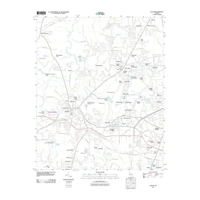
Editions of this 2024 Dallas Map
This is the sole edition of this map. No revisions or reprints were ever made.
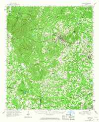
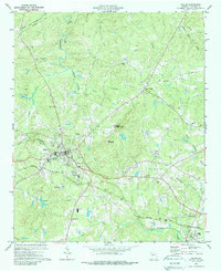
Historical Maps of Dallas Through Time
7 maps found
Featured Locations
Source Details
SourceU.S. Geological Survey
CopyrightPublic Domain