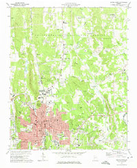
1972 Map of Dalton North
USGS Topo · Published 1974About this map
Dalton serves as the focal point of this North Georgia landscape, shown at a time of suburban expansion and industrial utility in the early 1970s. The town's grid extends toward Union Point, while the surrounding hills of the Chattahoochee National Forest provide a stark contrast to the development in Crow Valley. A strong sense of local community is evident through the numerous neighborhood landmarks, including North Whitfield High Sch and a dense network of country churches like Maddox Chapel and Friendship Ch.
Find a feature on this map
86 named features on this map. Tap any name to fly to it.
Don’t see what you’re looking for? This feature index may not catch every label — zoom into the map to look around manually.
Map Details
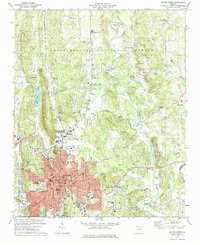
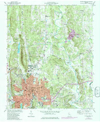
Editions of this 1972 Dalton North Map
Other maps of this area

1886 · Dalton
USGS Topo · 1:125,000

1886 · Ringgold
USGS Topo · 1:125,000

1892 · Ringgold
USGS Topo · 1:125,000

1892 · Dalton
USGS Topo · 1:125,000

1897 · Dalton
USGS Topo · 1:125,000
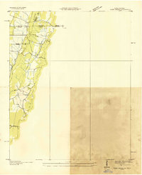
1935 · Tiger Creek
USGS Topo · 1:24,000

1935 · Villanow
USGS Topo · 1:24,000

1935 · Ringgold
USGS Topo · 1:24,000

1935 · Tunnel Hill
USGS Topo · 1:24,000

1938 · Chatsworth
USGS Topo · 1:48,000