
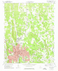
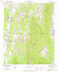
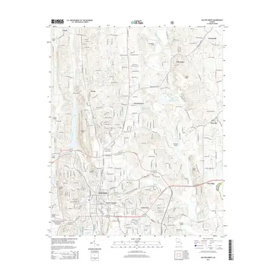
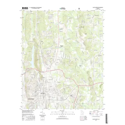
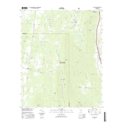
1972 Map of Dalton North
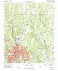
USGS Topo · Published 1988About this map
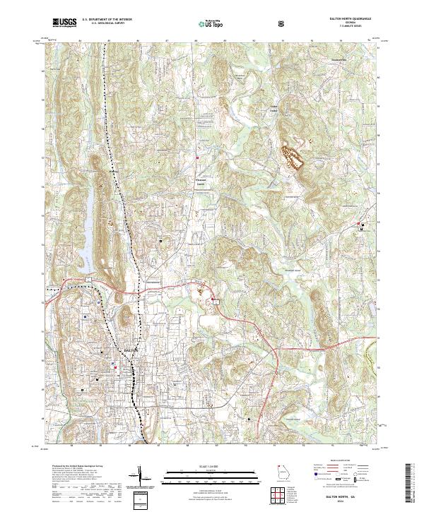
The city of Dalton serves as the industrial and civic heart of this North Georgia landscape, shown during a period of late-twentieth-century growth. The urban grid is dense with historic infrastructure, including the West Hill Cemetery, the City Hall, and numerous neighborhood schools like Roan St Sch and Morris St Sch. Industrial activity is evident in the rail corridors of the Southern and Seaboard Coast Line, alongside a massive Quarry carved into Cedar Ridge.
Find a feature on this map
86 named features on this map. Tap any name to fly to it.
Don’t see what you’re looking for? This feature index may not catch every label — zoom into the map to look around manually.
Map Details
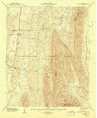
Editions of this 1972 Dalton North Map
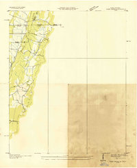
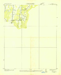
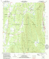
Historical Maps of Dalton Through Time
22 maps found
1935 Tiger Creek
Whitfield County, GA
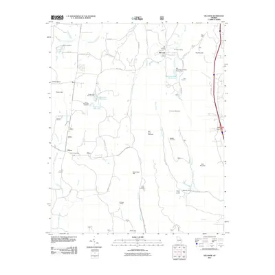
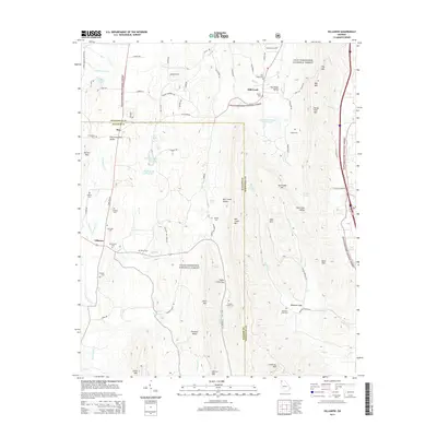
1935 Villanow
Whitfield County, GA
1946 Villanow
Whitfield County, GA
1947 Villanow
Whitfield County, GA
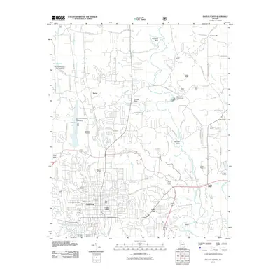
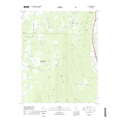
1972 Dalton North
Whitfield County, GA
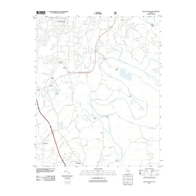
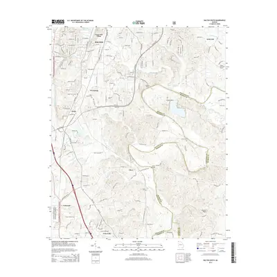
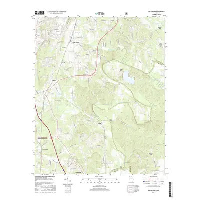
1972 Dalton South
Whitfield County, GA
1983 Villanow
Whitfield County, GA
2011 Dalton North
Whitfield County, GA
2011 Dalton South
Whitfield County, GA
2011 Villanow
Whitfield County, GA
2014 Dalton North
Whitfield County, GA
2014 Dalton South
Whitfield County, GA
2014 Villanow
Whitfield County, GA
2017 Dalton North
Whitfield County, GA
2017 Dalton South
Whitfield County, GA
2017 Villanow
Whitfield County, GA
2020 Dalton North
Whitfield County, GA
2020 Dalton South
Whitfield County, GA
2020 Villanow
Whitfield County, GA
2024 Dalton North
Whitfield County, GA
2024 Dalton South
Whitfield County, GA
2024 Villanow
Whitfield County, GA