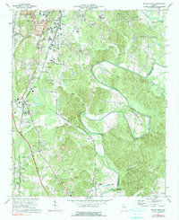
1972 Map of Dalton South
USGS Topo · Published 1991About this map
The Conasauga River carves a dramatic path through the heart of this landscape, forming the prominent Loopers Bend and defining the border between Whitfield and Murray counties. This corridor is a study in 1970s transportation and industry, where the Louisville and Nashville Railroad and the Southern Railway parallel the river through small settlements like Tilton and Carbondale. North toward Dalton, the landscape transitions from the protected woodland of the Chattahoochee National Forest to industrial centers marked by large sewage disposal sites and waste ponds.
Find a feature on this map
52 named features on this map. Tap any name to fly to it.
Don’t see what you’re looking for? This feature index may not catch every label — zoom into the map to look around manually.
Map Details
Editions of this 1972 Dalton South Map
2 editions found
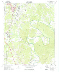
Other maps of this area

1886 · Dalton
USGS Topo · 1:125,000

1886 · Ringgold
USGS Topo · 1:125,000

1892 · Ringgold
USGS Topo · 1:125,000

1892 · Dalton
USGS Topo · 1:125,000

1897 · Dalton
USGS Topo · 1:125,000

1935 · Villanow
USGS Topo · 1:24,000

1935 · Tunnel Hill
USGS Topo · 1:24,000

1938 · Chatsworth
USGS Topo · 1:48,000

1943 · Dalton
USGS Topo · 1:62,500
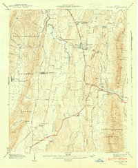
1943 · Tunnel Hill
USGS Topo · 1:24,000