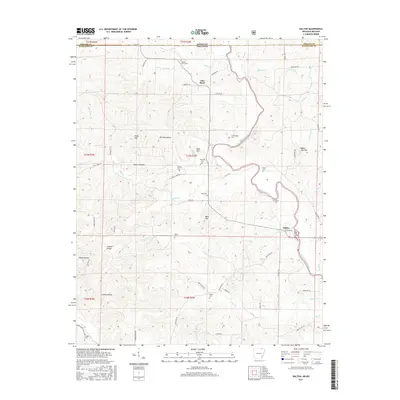
2017 Map of Dalton
USGS Topo · Published 2017About this map
The Eleven Point River carves a winding path through the borderlands of northern Arkansas and southern Missouri, anchoring a landscape defined by sharp ridges and deep hollows. This 2017 survey details the rural communities of Elm Store and Dalton, where life historically centered on the river and its numerous tributaries like Mill Cr and Baker Den Cr. The terrain is marked by prominent high points such as Higgs Mtn and Bald Hill, with names like Nubbin Ridge and Hogan Hollow suggesting a history of subsistence farming and homesteading.
Find a feature on this map
68 named features on this map. Tap any name to fly to it.
Don’t see what you’re looking for? This feature index may not catch every label — zoom into the map to look around manually.
Map Details
Editions of this 2017 Dalton Map
This is the sole edition of this map. No revisions or reprints were ever made.
Other maps of this area

1941 · Gatewood
USGS Topo · 1:62,500

1944 · Couch
USGS Topo · 1:62,500

1945 · Gatewood
USGS Topo · 1:62,500

1946 · Couch
USGS Topo · 1:62,500

1957 · Poplar Bluff
USGS Topo · 1:250,000

1959 · Poplar Bluff
USGS Topo · 1:250,000

1960 · Poplar Bluff
USGS Topo · 1:250,000

1965 · Gatewood
USGS Topo · 1:24,000

1966 · Ravenden Springs
USGS Topo · 1:24,000
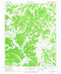
1966 · Ravenden Springs SE
USGS Topo · 1:24,000