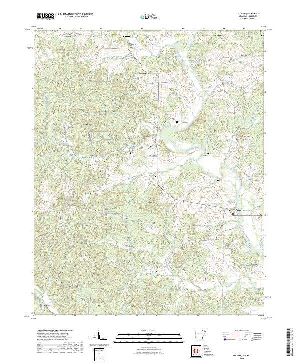
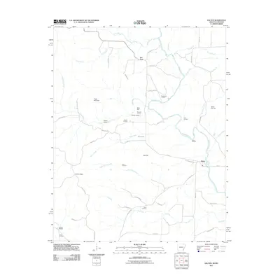
2024 Map of Dalton
USGS Topo · Published 2024About this map
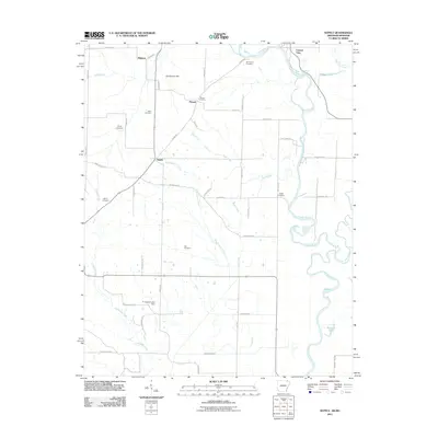
Dalton and Elm Store serve as the primary hubs for this rural landscape where Randolph County, Arkansas, meets Oregon County, Missouri. The topography is defined by the winding course of the Eleven Point River, which carves through the terrain alongside numerous drainages such as Bakers Creek and Pearl Branch. This area is particularly notable for its dense distribution of family-named burial sites, including Stubblefield Cem, Mosely Cem, and Reynolds Cem, suggesting a long-established network of homesteads and kin groups that have maintained their presence across generations.
Find a feature on this map
68 named features on this map. Tap any name to fly to it.
Don’t see what you’re looking for? This feature index may not catch every label — zoom into the map to look around manually.
Map Details
Editions of this 2024 Dalton Map
This is the sole edition of this map. No revisions or reprints were ever made.
Historical Maps of Elm Store Through Time
36 maps found
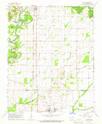
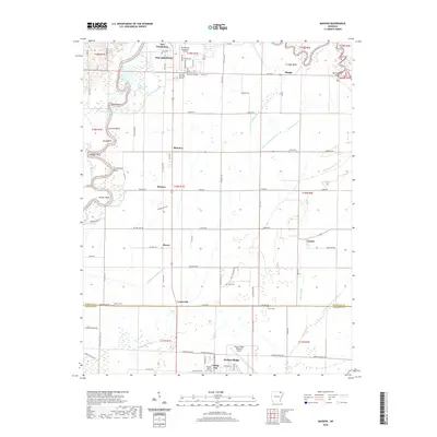
1965 Manson
Randolph County, AR
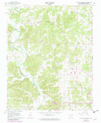
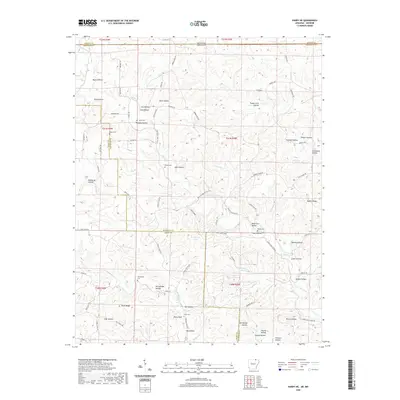
1966 Ravenden Springs SE
Randolph County, AR
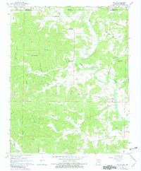
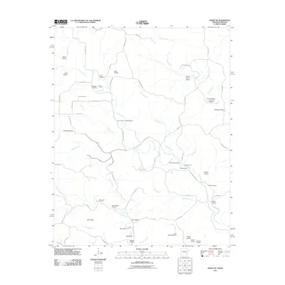
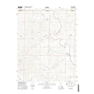
1968 Dalton
Randolph County, AR
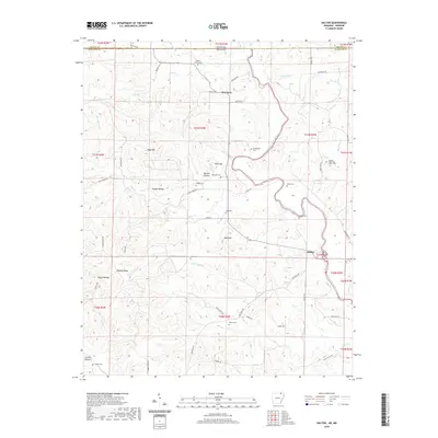
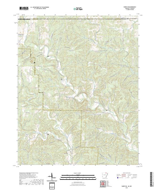
1968 Hardy NE
Randolph County, AR
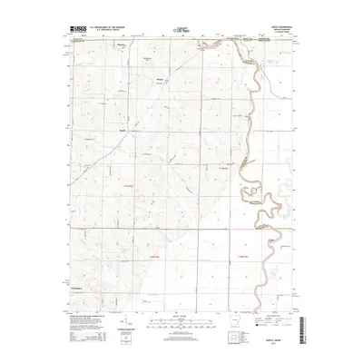
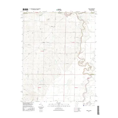
1968 Supply
Randolph County, AR
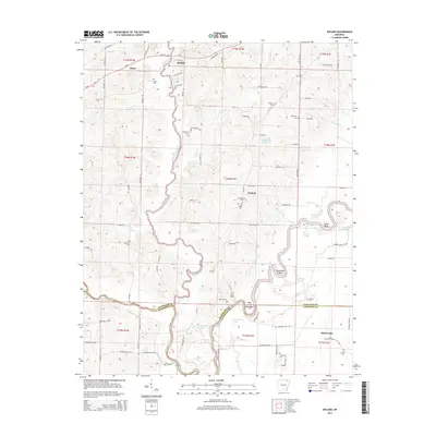
1974 Noland
Randolph County, AR
2011 Dalton
Randolph County, AR
2011 Hardy NE
Randolph County, AR
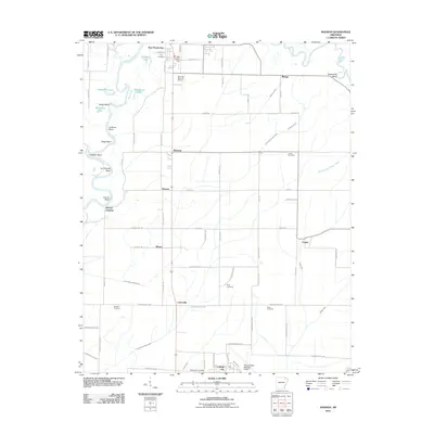
2011 Manson
Randolph County, AR
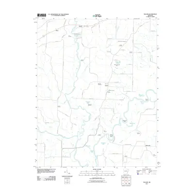
2011 Noland
Randolph County, AR
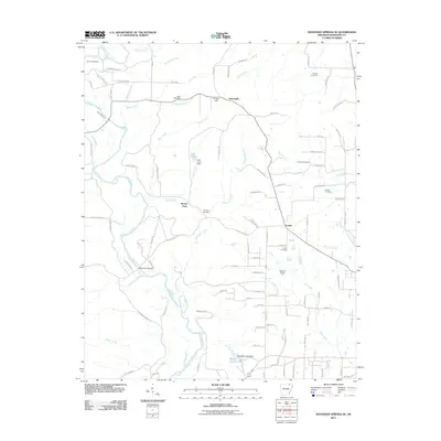
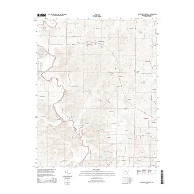
2011 Ravenden Springs SE
Randolph County, AR
2011 Supply
Randolph County, AR
2014 Dalton
Randolph County, AR
2014 Hardy NE
Randolph County, AR
2014 Manson
Randolph County, AR
2014 Noland
Randolph County, AR
2014 Ravenden Springs SE
Randolph County, AR
2014 Supply
Randolph County, AR
2017 Dalton
Randolph County, AR
2017 Hardy NE
Randolph County, AR
2017 Manson
Randolph County, AR
2017 Noland
Randolph County, AR
2017 Ravenden Springs SE
Randolph County, AR
2017 Supply
Randolph County, AR
2020 Dalton
Randolph County, AR
2020 Hardy NE
Randolph County, AR
2020 Manson
Randolph County, AR
2020 Noland
Randolph County, AR
2020 Ravenden Springs SE
Randolph County, AR
2020 Supply
Randolph County, AR
2024 Dalton
Randolph County, AR
2024 Hardy NE
Randolph County, AR
2024 Manson
Randolph County, AR
2024 Noland
Randolph County, AR
2024 Ravenden Springs SE
Randolph County, AR
2024 Supply
Randolph County, AR