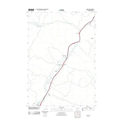
2011 Map of Dalys
USGS Topo · Published 2011About this map
The Beaverhead River snakes through this high-country corridor, following a narrow valley defined by landmark formations like Pipe Organ Rock and Mooney Mountain. This landscape is shaped by the water of the river and its tributaries, including Grasshopper Creek and Gallagher Creek, which converge in an area historically dominated by cattle ranching. Large family-named holdings such as Henneberry Ranch, Mooney Ranch, and McMenomey Ranch define the land use patterns along the valley floor. To the south, the Clark Canyon Dam regulates the river's flow, creating a significant point of infrastructure near the settlement of Clark Canyon. The presence of the Pipe Organ Lodge and Henneberry Bridge suggests a region where traditional ranching life meets the throughway of modern transit, as travelers and locals move between small stations like Dalys and Grayling.
Find a feature on this map
24 named features on this map. Tap any name to fly to it.
Don’t see what you’re looking for? This feature index may not catch every label — zoom into the map to look around manually.
Map Details
Editions of this 2011 Dalys Map
This is the sole edition of this map. No revisions or reprints were ever made.
Other maps of this area

1893 · Dillon
USGS Topo · 1:250,000

1952 · Bannack
USGS Topo · 1:24,000

1952 · Burns Mountain
USGS Topo · 1:24,000

1952 · Eli Spring
USGS Topo · 1:24,000

1952 · Dalys
USGS Topo · 1:24,000

1952 · Gallagher Mountain
USGS Topo · 1:24,000

1955 · Dubois
USGS Topo · 1:250,000

1955 · Dillon
USGS Topo · 1:250,000

1957 · Dillon
USGS Topo · 1:250,000

1958 · Dubois
USGS Topo · 1:250,000