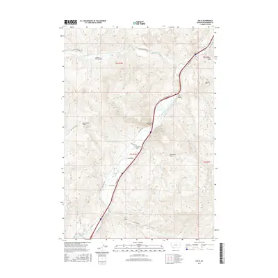
2017 Map of Dalys
USGS Topo · Published 2017About this map
The Beaverhead River carves a central path through this section of Beaverhead County, creating a corridor for both natural drainage and modern transport. The settlement of Dalys and the southern locality of Grayling sit along this waterway, which is flanked by the dramatic formations of Pipe Organ Rock and the high elevations of Henneberry Ridge. The map illustrates a landscape defined by sharp transitions from the river valley to the steep gulches of the surrounding mountains, including Juniper Spring Gulch and Long Gulch.
Find a feature on this map
31 named features on this map. Tap any name to fly to it.
Don’t see what you’re looking for? This feature index may not catch every label — zoom into the map to look around manually.
Map Details
Editions of this 2017 Dalys Map
This is the sole edition of this map. No revisions or reprints were ever made.
Other maps of this area

1893 · Dillon
USGS Topo · 1:250,000

1952 · Bannack
USGS Topo · 1:24,000

1952 · Burns Mountain
USGS Topo · 1:24,000

1952 · Eli Spring
USGS Topo · 1:24,000

1952 · Dalys
USGS Topo · 1:24,000

1952 · Gallagher Mountain
USGS Topo · 1:24,000

1955 · Dubois
USGS Topo · 1:250,000

1955 · Dillon
USGS Topo · 1:250,000

1957 · Dillon
USGS Topo · 1:250,000

1958 · Dubois
USGS Topo · 1:250,000