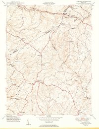
1950 Map of Damascus
USGS Topo · Published 1950About this map
Damascus sits at the heart of this post-war landscape, where the rolling heights of the Piedmont divide the waters of the Patuxent River and Great Seneca Creek. The mapping reveals a rural Montgomery County transitioning into the modern era, still defined by crossroads hamlets and the enduring presence of the Baltimore and Ohio RR corridor in the north. This rail line anchors the growing community of Mount Airy, which straddles the county lines near Ridgeville and Parrsville. The interior of the sheet is marked by small agricultural settlements like Claggettsville, Kemptown, and Browningsville, many of which developed along early turnpike routes. In the south, the topography descends toward Little Bennett Creek and the family-named landmarks like Kings Valley, while the eastern portion highlights the winding course of the Patuxent River near Mullinix and the distinctive geological prominence of Annapolis Rock.
Find a feature on this map
35 named features on this map. Tap any name to fly to it.
Don’t see what you’re looking for? This feature index may not catch every label — zoom into the map to look around manually.
Map Details
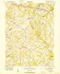
Editions of this 1950 Damascus Map
2 editions found
Other maps of this area

1893 · Frederick
USGS Topo · 1:125,000

1894 · Frederick
USGS Topo · 1:125,000

1908 · Rockville
USGS Topo · 1:62,500

1908 · Seneca
USGS Topo · 1:62,500

1908 · Ijamsville
USGS Topo · 1:62,500

1909 · Mount Airy
USGS Topo · 1:62,500

1909 · Ijamsville
USGS Topo · 1:62,500

1923 · Rockville
USGS Topo · 1:62,500

1942 · Frederick
USGS Topo · 1:62,500

1944 · Walkersville
USGS Topo · 1:31,680