
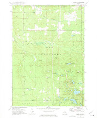
1965 Map of Damon
USGS Topo · Published 1966About this map
Damon sits at the northern edge of this mid-1960s survey, a small settlement within the vast tracts of the Ogemaw State Forest. The landscape is a complex network of conservation lands and industrial utility, where the Rose City Oil and Gas Field shares the terrain with glacial features like Stony Ridge and Wagon Wheel Hill. Genealogical details are preserved in the three local burial grounds: Damon Cem, Tucker Cem, and Rose Cem, each providing fixed points for family history research in this part of Ogemaw County.
Find a feature on this map
37 named features on this map. Tap any name to fly to it.
Don’t see what you’re looking for? This feature index may not catch every label — zoom into the map to look around manually.
Map Details
Editions of this 1965 Damon Map
This is the sole edition of this map. No revisions or reprints were ever made.
Other maps of this area

1954 · Traverse City
USGS Topo · 1:250,000

1958 · Traverse City
USGS Topo · 1:250,000

1963 · Luzerne
USGS Topo · 1:24,000

1965 · St. Helen NE
USGS Topo · 1:24,000

1965 · West Branch
USGS Topo · 1:24,000

1965 · Ogemaw Springs
USGS Topo · 1:24,000

1965 · Selkirk
USGS Topo · 1:24,000

1965 · Rose City
USGS Topo · 1:24,000

1972 · Mack Lake
USGS Topo · 1:24,000
1972 · Island Lake
USGS Topo · 1:24,000