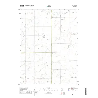
2021 Map of Dana
USGS Topo · Published 2021About this map
The village of Dana serves as the central hub of this agricultural landscape at the tri-county corner where LaSalle, Livingston, and Woodford counties meet. The surrounding prairie is defined by a rigorous grid of section-line roads such as Base Rd and Co Hwy 35, which navigate around the natural drainage systems of Long Point Cr and Mole Cr. For genealogists, the map is particularly useful for locating burial sites and smaller settlements like Spires, which sits near the southern boundary. Distinct local landmarks include the Saint Petri Evangelical Cem and the Dana Cem just south of the village. The drainage patterns of Diamond Cr and Short Point Cr reveal how the local topography influenced the placement of farms and small rural cemeteries like Bauman Cem and Center Cem across this Central Illinois region.
Find a feature on this map
36 named features on this map. Tap any name to fly to it.
Don’t see what you’re looking for? This feature index may not catch every label — zoom into the map to look around manually.
Map Details
Editions of this 2021 Dana Map
This is the sole edition of this map. No revisions or reprints were ever made.
Other maps of this area

1925 · Streator
USGS Topo · 1:62,500

1927 · Streator
USGS Topo · 1:62,500

1934 · Wenona
USGS Topo · 1:48,000

1939 · Wenona
USGS Topo · 1:62,500

1955 · Minonk
USGS Topo · 1:62,500

1958 · Flanagan
USGS Topo · 1:62,500

1958 · Aurora
USGS Topo · 1:250,000

1958 · Peoria
USGS Topo · 1:250,000

1961 · Aurora
USGS Topo · 1:250,000

1961 · Peoria
USGS Topo · 1:250,000