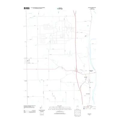
2013 Map of Dana
USGS Topo · Published 2013About this map
The Wabash River forms the eastern boundary of this western Indiana landscape, where a series of small rail-side settlements and junctions trace the history of regional transit. Near the river, the cluster of Hillsdale, Hillsdale Junction, and Montezuma Station illustrates the importance of these transport corridors, while smaller communities like Alta and Early Station dot the land further south. The terrain is defined by the winding paths of Little Raccoon Cr and Buck Cr, which cut through the agricultural grid toward the river valley.
Find a feature on this map
68 named features on this map. Tap any name to fly to it.
Don’t see what you’re looking for? This feature index may not catch every label — zoom into the map to look around manually.
Map Details
Editions of this 2013 Dana Map
This is the sole edition of this map. No revisions or reprints were ever made.
Other maps of this area

1947 · Ridge Farm
USGS Topo · 1:62,500

1947 · Paris
USGS Topo · 1:62,500

1949 · Paris
USGS Topo · 1:62,500

1951 · Clinton
USGS Topo · 1:24,000

1951 · Mecca
USGS Topo · 1:24,000

1951 · Saint Bernice
USGS Topo · 1:24,000

1953 · Indianapolis
USGS Topo · 1:250,000

1955 · Kingman
USGS Topo · 1:24,000

1955 · Humrick
USGS Topo · 1:24,000

1955 · Scottland
USGS Topo · 1:24,000