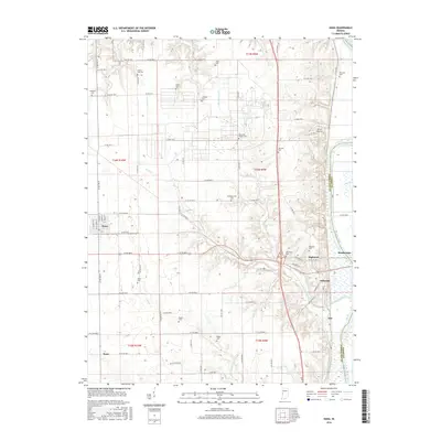
2016 Map of Dana
USGS Topo · Published 2016About this map
Little Raccoon Creek meanders through the central landscape of this Vermillion County region, defining a rural corridor marked by generational family cemeteries and small crossroads settlements. This 2016 survey shows the town of Dana situated in the west, while the eastern border is shaped by the Wabash River as it passes Montezuma. The map reveals a high density of burial grounds, such as Walnut Hill Cem, Carmack Cem, and Bogart Cem, which offer significant value for genealogists tracing local lineage in Highland and Helt Townships.
Find a feature on this map
85 named features on this map. Tap any name to fly to it.
Don’t see what you’re looking for? This feature index may not catch every label — zoom into the map to look around manually.
Map Details
Editions of this 2016 Dana Map
This is the sole edition of this map. No revisions or reprints were ever made.
Other maps of this area

1947 · Ridge Farm
USGS Topo · 1:62,500

1947 · Paris
USGS Topo · 1:62,500

1949 · Paris
USGS Topo · 1:62,500

1951 · Clinton
USGS Topo · 1:24,000

1951 · Mecca
USGS Topo · 1:24,000

1951 · Saint Bernice
USGS Topo · 1:24,000

1953 · Indianapolis
USGS Topo · 1:250,000

1955 · Kingman
USGS Topo · 1:24,000

1955 · Humrick
USGS Topo · 1:24,000

1955 · Scottland
USGS Topo · 1:24,000