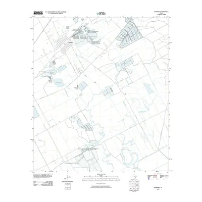
2010 Map of Danbury
USGS Topo · Published 2010About this map
The coastal prairie landscape of Danbury is defined by a complex network of bayous and artificial water management structures as of 2010. The Danbury Dome Oil Field sits north of town, indicating the importance of subterranean resources to the local economy. Water control is a dominant feature of this Brazoria County terrain, with numerous named reservoirs and levees like the McCormack Reservoir Number Dam and Bieri Lakes regulating the flow of Austin Bayou and Brushy Bayou. These engineering works, including the Reservoir Number 17 Levee/McCullough Reservoir Complex Dam, suggest an intensive agricultural or industrial use of the surrounding plains. To the north, the Salaika Aviation Airport provides a small-scale aviation hub near the winding course of Flores Bayou. The grid of county roads, such as Hoskins Mound Rd and Peltier Rd, segments the land between natural drainage features like Eagle Gully and King Creek.
Find a feature on this map
53 named features on this map. Tap any name to fly to it.
Don’t see what you’re looking for? This feature index may not catch every label — zoom into the map to look around manually.
Map Details
Editions of this 2010 Danbury Map
This is the sole edition of this map. No revisions or reprints were ever made.
Other maps of this area

1932 · Mustang Bayou
USGS Topo · 1:31,680

1943 · Oyster Creek
USGS Topo · 1:31,680

1943 · Rosharon
USGS Topo · 1:31,680

1943 · Danbury
USGS Topo · 1:31,680

1943 · Mustang Bayou
USGS Topo · 1:31,680

1943 · Angleton
USGS Topo · 1:24,000

1943 · Christmas Point
USGS Topo · 1:24,000

1943 · Chocolate Bay
USGS Topo · 1:24,000

1943 · Chocolate Bayou
USGS Topo · 1:24,000

1943 · Snipe
USGS Topo · 1:31,680