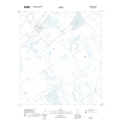
2019 Map of Danbury
USGS Topo · Published 2019About this map
Danbury and the western outskirts of Alvin define this coastal prairie landscape in Brazoria County, characterized by an extensive network of water management features and small-scale aviation sites. The terrain is marked by a sophisticated system of reservoirs and bayous, including the large McCormack Reservoir complex and several distinct basins such as Bieri Lake Number 2 and Peltier Lakes. These water bodies are connected by natural and improved drainage ways like Eagle Gully and Austin Bayou, which meander through the agricultural plots and residential blocks.
Find a feature on this map
79 named features on this map. Tap any name to fly to it.
Don’t see what you’re looking for? This feature index may not catch every label — zoom into the map to look around manually.
Map Details
Editions of this 2019 Danbury Map
This is the sole edition of this map. No revisions or reprints were ever made.
Other maps of this area

1932 · Mustang Bayou
USGS Topo · 1:31,680

1943 · Oyster Creek
USGS Topo · 1:31,680

1943 · Rosharon
USGS Topo · 1:31,680

1943 · Danbury
USGS Topo · 1:31,680

1943 · Mustang Bayou
USGS Topo · 1:31,680

1943 · Angleton
USGS Topo · 1:24,000

1943 · Christmas Point
USGS Topo · 1:24,000

1943 · Chocolate Bay
USGS Topo · 1:24,000

1943 · Chocolate Bayou
USGS Topo · 1:24,000

1943 · Snipe
USGS Topo · 1:31,680