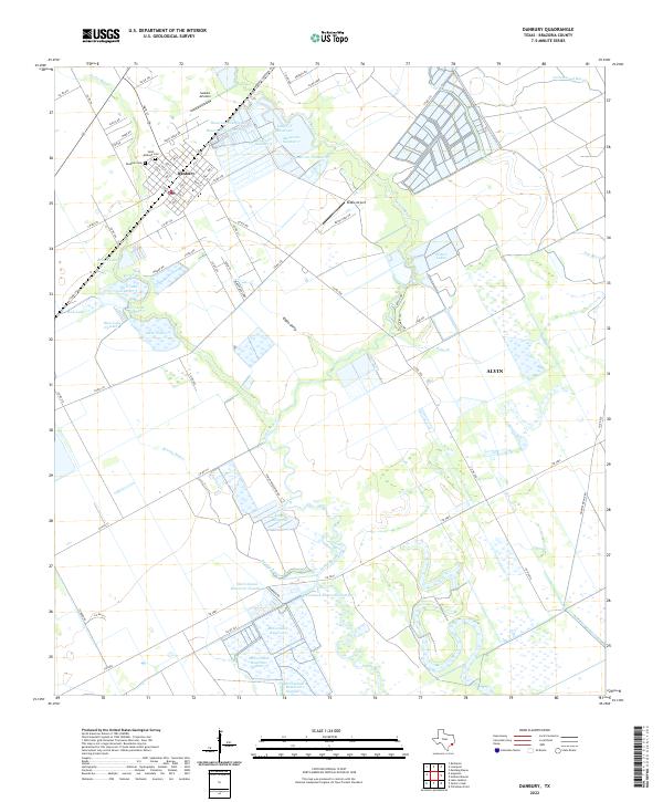
2022 Map of Danbury
USGS Topo · Published 2022About this map
The low-lying coastal prairies of Brazoria County are defined here by a sophisticated network of water management, visible in the numerous numbered reservoirs and irrigation features. Danbury serves as the primary settlement, its grid structured around streets like Main St and 1st St, with the Danbury Cem and Saint Anthony Cem providing significant points of interest for genealogists. The landscape is dominated by managed water bodies such as Lemon Reservoir and the extensive McCormack Reservoir system, which support the region's agricultural traditions.
Find a feature on this map
88 named features on this map. Tap any name to fly to it.
Don’t see what you’re looking for? This feature index may not catch every label — zoom into the map to look around manually.
Map Details
Editions of this 2022 Danbury Map
This is the sole edition of this map. No revisions or reprints were ever made.
Other maps of this area

1932 · Mustang Bayou
USGS Topo · 1:31,680

1943 · Oyster Creek
USGS Topo · 1:31,680

1943 · Rosharon
USGS Topo · 1:31,680

1943 · Danbury
USGS Topo · 1:31,680

1943 · Mustang Bayou
USGS Topo · 1:31,680

1943 · Angleton
USGS Topo · 1:24,000

1943 · Christmas Point
USGS Topo · 1:24,000

1943 · Chocolate Bay
USGS Topo · 1:24,000

1943 · Chocolate Bayou
USGS Topo · 1:24,000

1943 · Snipe
USGS Topo · 1:31,680