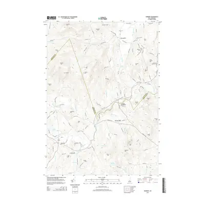
2015 Map of Danbury
USGS Topo · Published 2015About this map
Danbury and Alexandria anchor this New Hampshire landscape where the Smith River and its numerous tributaries like Bog Brook and Frazier Brook carve through the upland terrain. The map captures the rural character of the region, marked by scattered settlements at South Alexandria and Elmwood, alongside significant local landmarks such as the Newfound Valley Airport. Genealogists will find interest in the documented locations of Riverside Cem, Burns Hill Cem, and Crawford Cem, which are situated near long-established family-named heights like Pattee Hill and Braley Hill. The terrain is defined by a dense network of peaks including The Pinnacle and Pillsbury Mtn, while more contemporary naming is reflected in the feature labeled The Dude Abides near Page Hill. This survey provides a clear view of the road systems, from Mount Cardigan Rd to Taylor Hill Rd, that connect these communities through the valleys and over the ridges of the Grafton Co and Merrimack Co border.
Find a feature on this map
123 named features on this map. Tap any name to fly to it.
Don’t see what you’re looking for? This feature index may not catch every label — zoom into the map to look around manually.
Map Details
Editions of this 2015 Danbury Map
This is the sole edition of this map. No revisions or reprints were ever made.
Other maps of this area

1925 · Holderness
USGS Topo · 1:62,500

1927 · Penacook
USGS Topo · 1:62,500

1927 · Holderness
USGS Topo · 1:62,500

1927 · Cardigan
USGS Topo · 1:62,500

1928 · Mount Kearsarge
USGS Topo · 1:62,500

1930 · Cardigan
USGS Topo · 1:62,500

1931 · Mount Kearsarge
USGS Topo · 1:62,500

1949 · Portland
USGS Topo · 1:250,000

1956 · Cardigan
USGS Topo · 1:62,500

1956 · Penacook
USGS Topo · 1:62,500