
1943 Map of Danforth
USGS Topo · Published 1943About this map
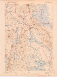
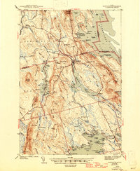
Danforth and Brookton serve as the primary hubs in this lake-rich region of Maine just before the mid-century, where the Maine Central and Canadian Pacific railroads converge to move timber and goods. The landscape is defined by the extensive waters of the Chiputneticook Lakes along the international border, and the winding Baskhegan Stream. Cultural landmarks are scattered throughout the hills, including the Irish Settlement tucked behind Snow Mountain, and a network of rural schoolhouses such as Butterfield Sch and Shaw Sch.
Find a feature on this map
124 named features on this map. Tap any name to fly to it.
Don’t see what you’re looking for? This feature index may not catch every label — zoom into the map to look around manually.
Map Details
Editions of this 1943 Danforth Map
3 editions found
Other maps of this area

1931 · Springfield
USGS Topo · 1:48,000

1934 · Springfield
USGS Topo · 1:62,500

1940 · Danforth
USGS Topo · 1:62,500

1940 · Amity
USGS Topo · 1:62,500

1940 · Waite
USGS Topo · 1:62,500

1940 · Forest
USGS Topo · 1:62,500

1941 · Danforth
USGS Topo · 1:62,500

1941 · Amity
USGS Topo · 1:62,500

1941 · Scraggly Lake
USGS Topo · 1:62,500

1941 · Mattawamkeag Lake
USGS Topo · 1:62,500