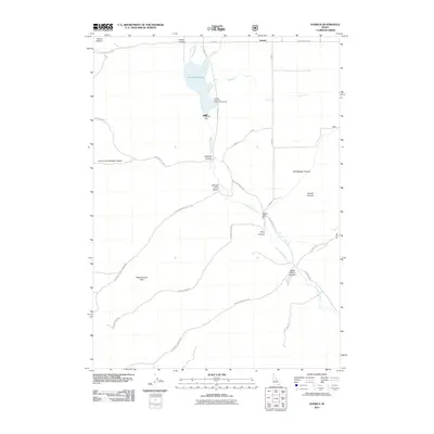
2011 Map of Daniels
USGS Topo · Published 2011About this map
Little Malad River drainage systems define this section of Oneida County, where the valley floor meets the rising peaks of the Pleasantview Hills and Mount Elkhorn. The landscape is dominated by the Daniels Reservoir, a significant water resource managed at Daniels Dam and popular at the Daniels Reservoir Public Fishing Area. Further downstream, the Elkhorn Dam regulates the flow through a series of named canyons that branch out into the surrounding high ground.
Find a feature on this map
33 named features on this map. Tap any name to fly to it.
Don’t see what you’re looking for? This feature index may not catch every label — zoom into the map to look around manually.
Map Details
Editions of this 2011 Daniels Map
This is the sole edition of this map. No revisions or reprints were ever made.
Other maps of this area

1954 · Pocatello
USGS Topo · 1:250,000

1958 · Pocatello
USGS Topo · 1:250,000

1963 · Daniels
USGS Topo · 1:24,000

1968 · Ireland Springs
USGS Topo · 1:24,000

1968 · Daniels
USGS Topo · 1:24,000

1968 · Dairy Creek
USGS Topo · 1:24,000

1968 · Malad City West
USGS Topo · 1:24,000

1968 · Wakley Peak
USGS Topo · 1:24,000
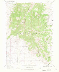
1968 · Elkhorn Peak
USGS Topo · 1:24,000
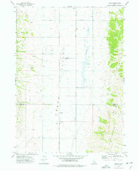
1973 · Arbon
USGS Topo · 1:24,000